
My 2020 National Parks Road Trip Itinerary
As I began to plan my 2020 National Parks Road Trip that I outlined for you a few weeks back, I began to realize how beneficial it might be for me to share the process I use to plan long road trips. Believe it or not, even though they don’t include air travel or the other complexities associated with fly-and-stay travel, road trips can be surprisingly difficult to plan. This is especially true during a global pandemic. That is why I have chosen to share my detailed road trip itinerary and planning process with you in case it might help you in navigating the planning process for your next big road trip. I have included links to each day’s itinerary plan, as well as the main itinerary article, below to assist you with navigation.

Day’s Driving Map
There will be two segments of driving on this day. The first segment, in the morning, will be driving from the campground to the Grays Peak trailhead. The second driving segment will be driving from Grays Peak to the campground near Great Sand Dunes National Park.
Getting to the Grays Peak Trailhead

Getting to the Campgrounds Near Great Sand Dunes National Park

Day’s Itinerary
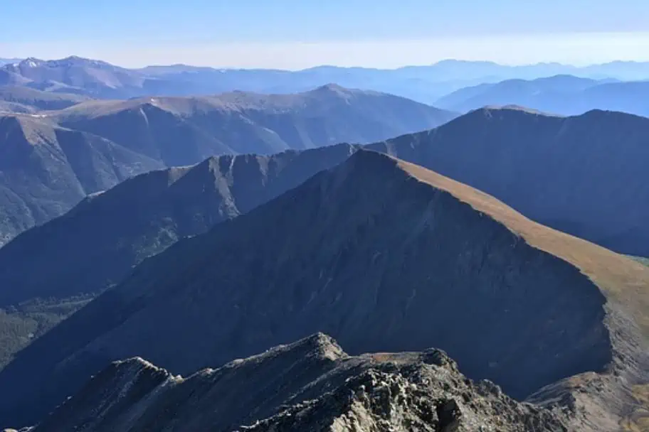
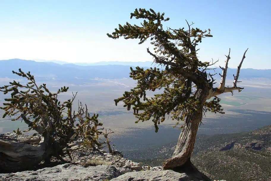
- Hike to the summit of Grays Peak
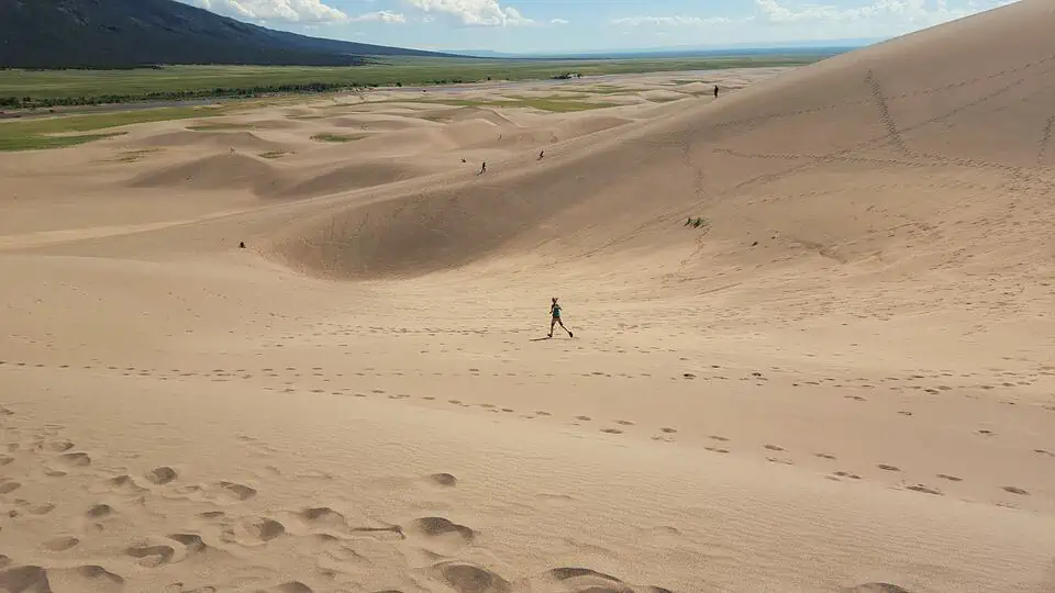
- Drive to the Great Sand Dunes National Park area for the night

What to See


Official Topographical Map (PDF)
Hiking Packing Checklist
- Hiking Boots
- Tread Soles
- Micro Spikes
- Zip Off Hiking Pants
- Breathable T-Shirt
- Light Weight Base Layer Top
- Breathable Long Sleeve T-Shirt
- Fleece
- Rain Jacket
- Rain Pants
- Hiking Poles
- Water Bottle
- Backup Water Bottle
- Headlamp
- Small Survival Pack (Matches, fire starter, food, space blankets, whistle)
- Swiss Army Knife
- Walkie Talkie
- Camera (with just a wide-angle lens and backup batteries)
- Sun Hat
- Winter Hat
- Light Gloves
- Topographical Map
- Compass
Where to Stay

- Rock Creek Campground
- Alamosa KOA Journey *
- Zapata Falls Campground
- Mosca Campground
- Piñon Flats Campground
- Buck Creek
Don’t Forget to Subscribe to My Adventures!

Let Me Help You Save On Your Next Adventure!
‘Start Exploring Today’ Merchandise Available Now!
 |
 |
 |
 |
 |
 |
 |


Leave a Reply