LAST UPDATED: 3/2/26 – Canyonlands National Park Guide
Canyonlands National Park is one of the most unique and beautiful parks in the United States National Park System. It includes some of the most unique and breathtaking landscapes in the country. With miles upon miles of beautiful slot canyons (created by both the Colorado and Green Rivers) and other amazing rock formations, there is no shortage of amazing views in this park.
Canyonlands is also a great place to do some backcountry hiking and canyoning, as the park is filled with amazing backcountry hikes and challenging slot canyons that will keep even the most experienced canyoners on their toes.

If you love rough and beautiful landscapes, then Canyonlands National Park should be near the top of your list of places to visit. Within this Canyonlands National Park guide, I will outline all of the information you will need to make your visit to the park a success.
With information on how to get to the park, the best times to visit, the top things to do and see within the park, and resources to make your visit a success, this guide is a one-stop resource for your planning needs.
Canyonlands National Park Guide Navigation Menu

How to Get to Canyonlands National Park

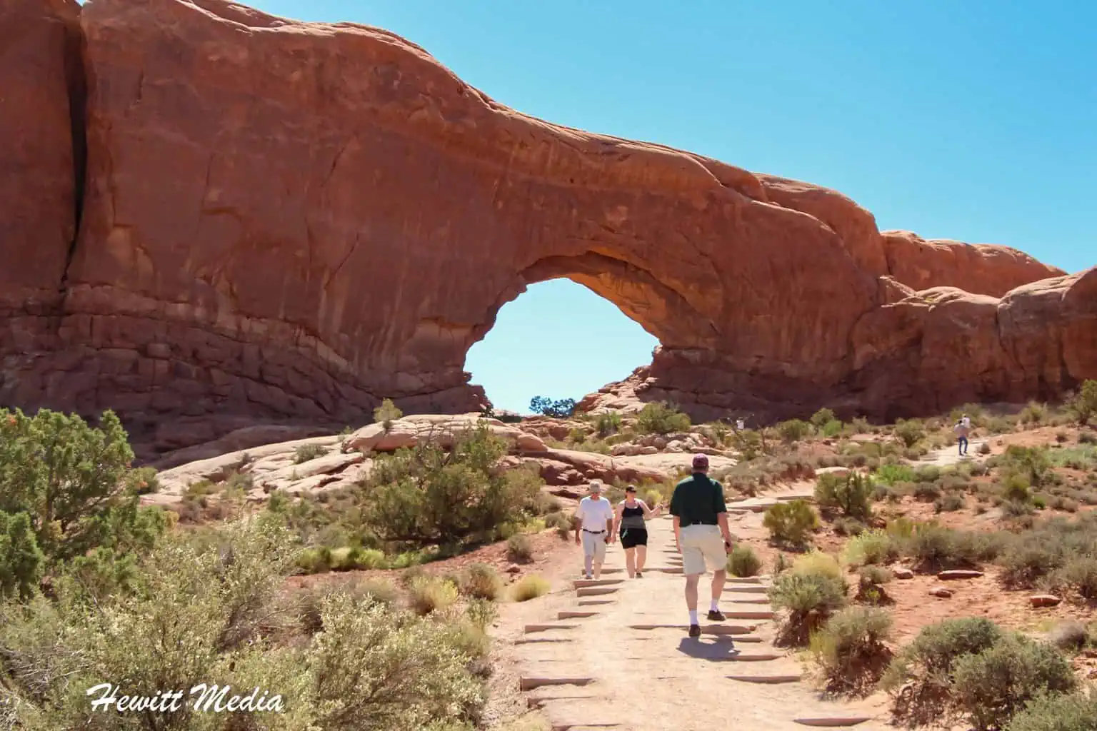
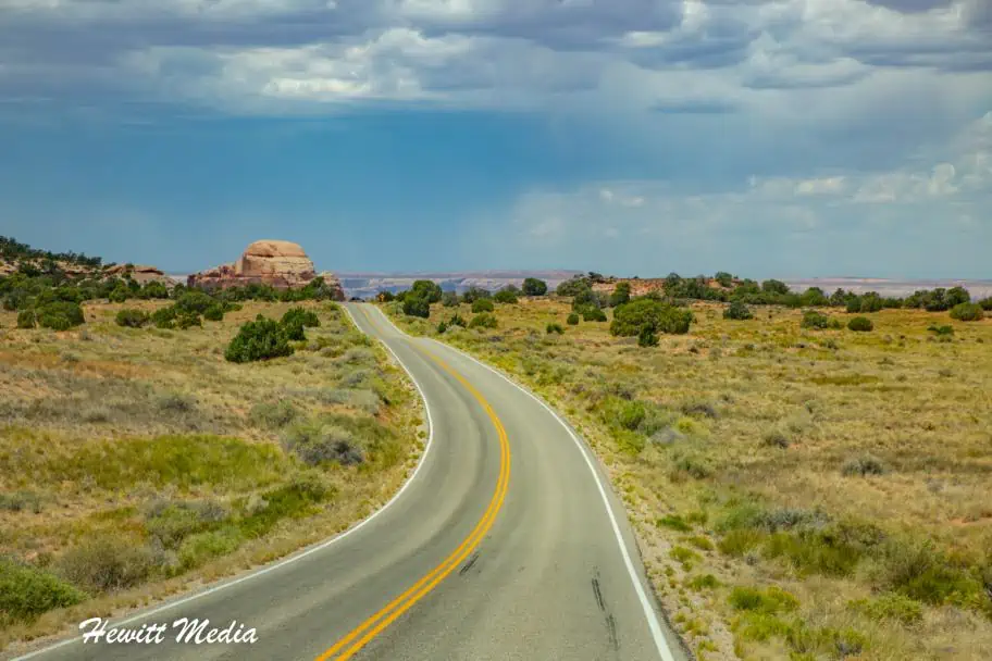
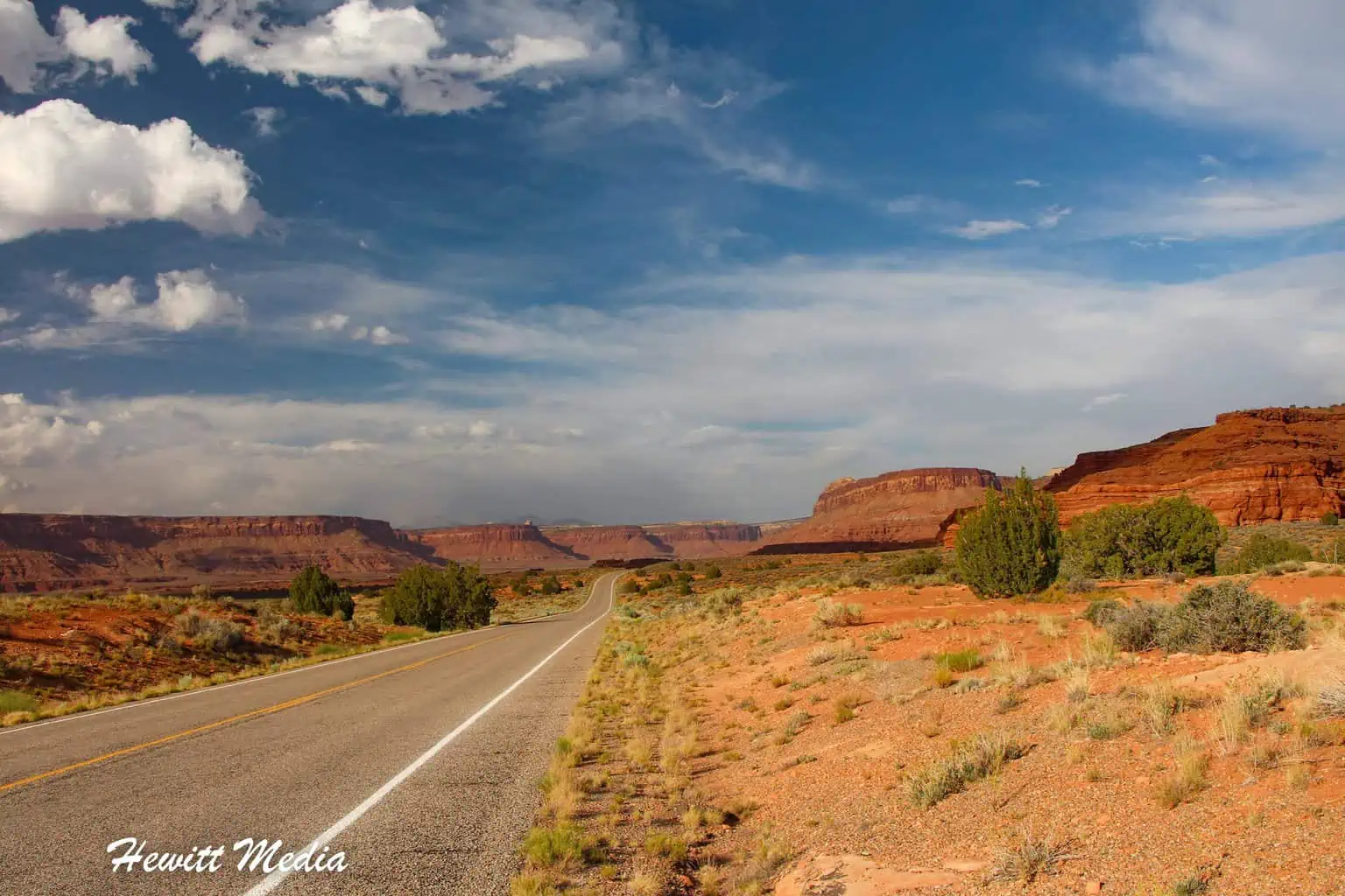
Canyonlands National Park is located in the Southeast corner of the State of Utah, just outside of the town of Moab, Utah. It is just a short drive from Arches National Park, which we highlighted in our Arches National Park Visitor’s Guide just last year.
If you want to avoid a cross-country drive, or you are visiting from outside the United States, I have included a list of major metropolitan cities with large airports in this area of the United States, with distances to Canyonlands National Park below.
| City\Park | Driving Distance | Driving Time | Notes |
|---|---|---|---|
| Dead Horse Point State Park | 15 miles | 0hrs 25min | Dramatic mesa-top viewpoints overlooking the Colorado River; extremely close to Island in the Sky. |
| Moab, UT | 32 miles | 0hrs 45min | Canyonlands Field Airport; small regional service with limited flights. |
| Arches National Park | 35 miles | 0hrs 50min | Famous for Delicate Arch and over 2,000 natural sandstone arches. |
| Goblin Valley State Park | 70 miles | 1hrs 30min | Maze of hoodoos (“goblins”) and surreal desert landscapes. |
| Capitol Reef National Park | 135 miles | 2hrs 30min | Waterpocket Fold, orchards, scenic drives, and slot canyons. |
| Grand Junction, CO | 110 miles | 2hrs | Medium‑sized regional airport with broad domestic connections. |
| Glen Canyon National Recreation Area | 140 miles | 2hrs 40min | Remote Colorado River access, red‑rock canyons, Lake Powell tributaries. |
| Natural Bridges National Monument | 150 miles | 2hrs 45min | Three massive natural bridges; dark‑sky sanctuary. |
| Durango, CO | 215 miles | 3hrs 45min | Regional airport with strong connections to Denver, Phoenix, Dallas. |
| Colorado National Monument | 125 miles | 2hrs 15min | Sheer‑walled canyons and monoliths near Grand Junction. |
| Black Canyon of the Gunnison National Park | 200 miles | 3hrs 30min | Extremely steep, narrow canyon with dramatic cliffs. |
| Canyon de Chelly National Monument | 260 miles | 4hrs 30min | Navajo Nation lands with towering canyon walls and ancient dwellings. |
| Aspen, CO | 240 miles | 4hrs 15min | High‑altitude regional airport serving major carriers seasonally. |
| Mesa Verde National Park | 260 miles | 4hrs 15min | Cliff dwellings and ancestral Puebloan archaeological sites. |
| Glen Canyon National Recreation Area | 180 miles | 3hrs 15min | Lake Powell access, boating, red‑rock canyons. |
Because of the ruggedness and remoteness of the area, there are no major airports that are close to Canyonlands National Park. This is why, if you want to visit Canyonlands or Arches National Park, I always recommend you make it a longer trip and see some of the other amazing national parks and public lands in this area. There is so much to see and do in this area of the country that you won’t be short on options.
Canyonlands National Park Location Map
Canyonlands National Park is broken up into three districts (four if you count the rivers themselves), separated by the Colorado and Green Rivers. Each area offers unique landscapes for you to explore, so I would strongly suggest that you visit them all. This isn’t a case where seeing one district means you have seen everything that Canyonlands National Park has to offer.

The Maze District

The Maze District of Canyonlands National Park is the most remote, and therefore the least crowded, district in the park. Here you will find miles-upon-miles of slot canyons that can be explored. Because of its remoteness, the Maze District of Canyonlands National Park requires some backcountry hiking to really do a lot of exploration. However, if you want to get a quick view of this beautiful area, the Maze Overlook Viewpoint is definitely worth a stop.
| READ MORE: |
 |
| Ten Easy Backpacking Safety Steps |
| READ MORE: |
 |
| The Complete Backpackers Packing Guide |
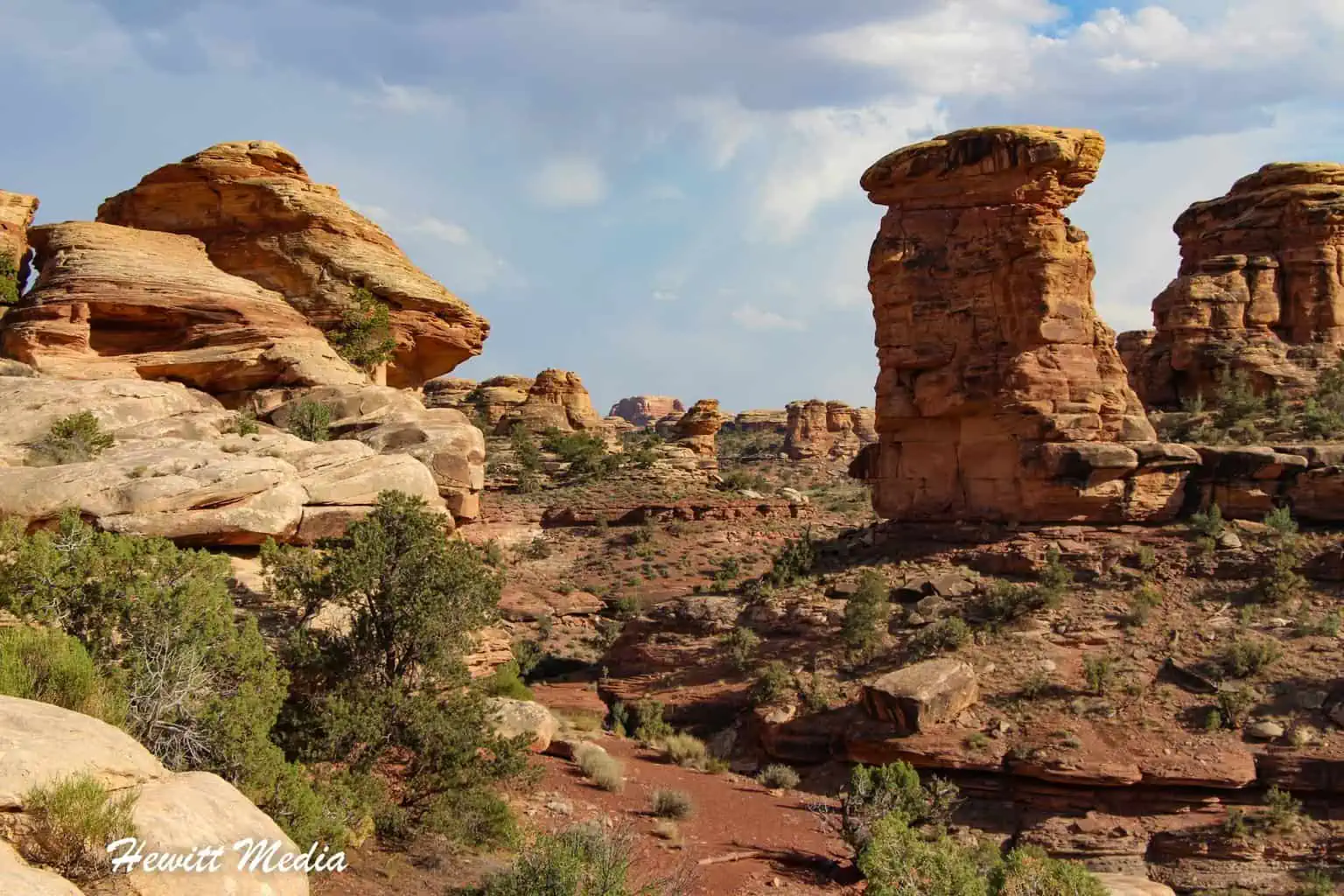
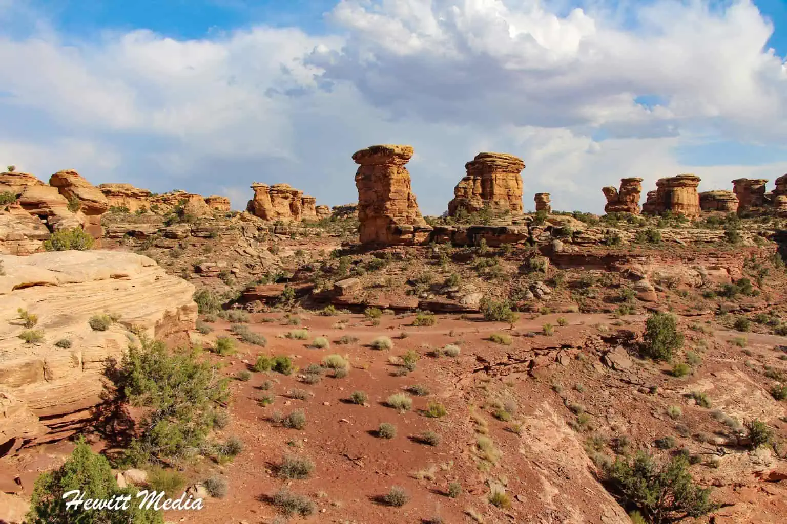
The Needles District

Located in the Southeastern section of the park, the Needles District has some of the best backcountry backpacking trails in the park. The terrain is comprised of many rock spires, or needles, that make it one of the most unique sections of the park as well. If you are interested in history, some fascinating Ancestral Puebloan petroglyphs near the Needles district are worth checking out as well.
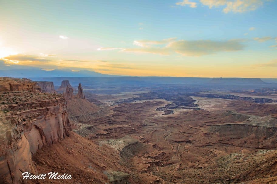
Island in the Sky District

If you like amazing vistas, then the Islands in the Sky District is the place you want to be. The Sky district is the closest district to the town of Moab and includes some absolutely breathtaking views over the vast expanse of canyons inside Canyonlands National Park. This is where you will find the beautiful Mesa Arch overlook and the equally stunning Green River Overlook, among others.
When to Visit Canyonlands National Park

There are several different factors that you should consider before making a trip to see Canyonlands National Park and the surrounding area. These factors include both the weather and the annual crowds that flock to see this amazing park. I have included some month-by-month comparisons below to assist you in planning a visit that meets your needs.
Average Temperature (°F)
Because of its location, Canyonlands National Park can get quite hot during the summer months and rather chilly during the winter months. Before planning your trip, take into account the monthly temperature averages listed in my Canyonlands National Park guide below.
As you can see by the chart below, the summer months of June through August can be very hot, with temperatures reaching over 100 degrees Fahrenheit. If you don’t like hot temperatures, you should avoid visiting during these months. During the winter months of November through February, the temperatures can be quite chilly, especially at night. This can put a damper on your vacation if you don’t like cooler temperatures.
Average Precipitation (Inches)
Nothing can ruin an adventure vacation quicker than bad weather. Before you start planning your trip to Canyonlands National Park, you should understand which months see the highest average rainfall and which see the lowest. This will help you reduce the chances of rain putting a damper on your vacation.
The Canyonlands area doesn’t get a whole lot of rain annually, but there are a few months that do get a fair amount of rain. This is especially true for October, which sees over an inch of rain on average every year.
Average Number of Visitors
Another variable that may play a factor in when you decide to visit Canyonlands National Park is the crowds. Depending on the month of the year that you visit, and what you want to see in the park, there may be significant crowds at the park. The chart in my Canyonlands National Park guide below will give you a sense of which months of the year see the most visitors to the park.
Other Things to See in the Area
While Canyonlands National Park is full of incredible things to see and do, it isn’t the only amazing thing you should see in the Moab, Utah area. In fact, there is enough to see and do in the area to keep you busy for weeks.
If you are looking for some additional things to see while in the area, you are in luck. I have included some guides to some other recommended attractions for you to review in my Canyonlands National Park guide below.
| READ MORE: | |
 |
|
| Arches National Park Visitor Guide |
| READ MORE: |
 |
| The Ultimate Corona Arch Trail Hiking Guide |
| READ MORE: |
 |
| Leprechaun Canyon Trail Guide |
Canyonlands National Park Resources

Download Zoomable Islands in the Sky District PDF Map
Download Zoomable Maze District Map
Download Zoomable Needles District Map
To make your trip to visit Canyonlands National Park a success, I have included several additional resources that you can use to plan your trip in my Canyonlands National Park guide below.
- Canyonlands National Park – Plan Your Visit
- Canyonlands National Park – Camping
- Canyonlands National Park – Things to Do
- Canyonlands National Park – Back Country Regulations
- Moab Visitor Guide
- Lonely Planet – Moab Travel
- Fodor’s – Moab and Southeastern Utah
Where to Stay Near Canyonlands National Park

Campgrounds Near Canyonlands
If you are visiting the Moab, Utah area to see Canyonlands National Park, then one of the most important decisions that you will need to make when planning your trip is where you will stay. If you love to camp, there are many places in the Canyonlands and Moab area where you can camp out. To assist you with your planning, I have provided a map of campgrounds for you to review in my Canyonlands National Park guide below.
Hotels Near Canyonlands
If camping is not your speed, you need not worry, as there are a variety of good hotels for you to choose from in the area as well. In fact, the city of Moab, Utah, has a wealth of reasonably priced hotel options for you to choose from. If you are in the process of planning your trip, then you are in luck. I have included a map and list of recommended hotels at different price points for you to review in my Canyonlands National Park guide below.

Top Things to See in Canyonlands National Park

Canyonlands National Park is filled with grand vistas and rugged landscapes. That is what makes this park so incredibly beautiful. The park is fairly big, so there is a lot to see. Below are some of the top things I would recommend seeing when you visit.
Mesa Arch

Mesa Arch Trail Stats
| Trail Type: | Loop |
| Distance: | 0.6 miles/1 kilometers |
| Elevation Gain: | 62 feet/19 meters |
| Time to Complete: | 0.5 to 1 hours |
| Difficulty Level: | Easy |
| District: | Island in the Sky |
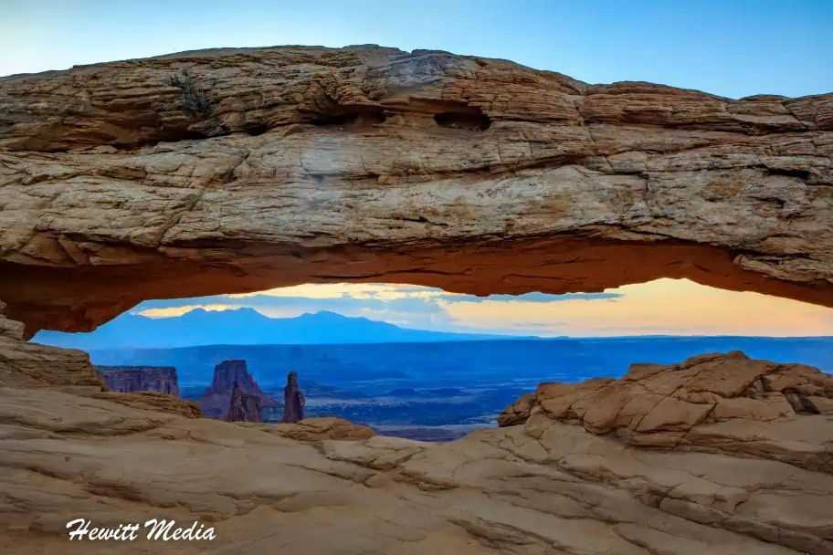
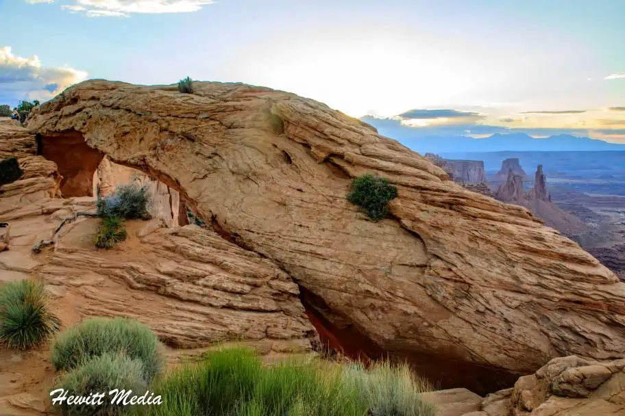
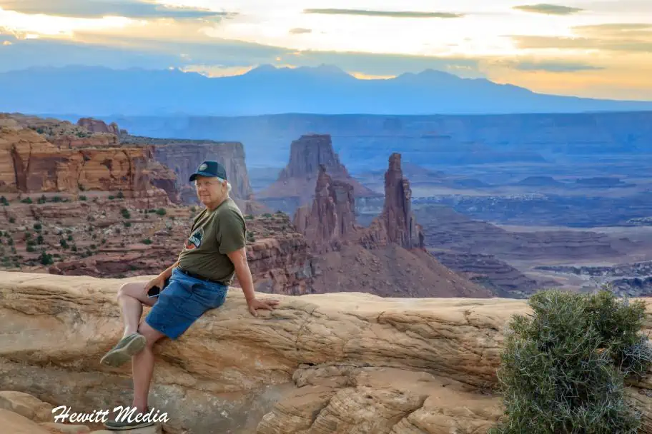
Mesa Arch is to Canyonlands National Park what the Delicate Arch is to Arches National Park. It is an incredibly popular stop within the park that sees hundreds of thousands of visitors a year. Not only that, but it is a mecca for landscape photographers from around the world who want to get their own shot of this amazing viewpoint.
The hike to the Mesa Arch viewpoint is very short and easy, so it is a great stop for people of all ages and hiking abilities, which adds to its popularity. This should be the number one stop on anyone’s list when visiting Canyonlands National Park.
Mesa Arch Trail Map
Arrive Early

I would strongly suggest that you arrive at the park early and make the Mesa Arch your first stop of the day. This viewpoint gets extremely crowded, even in the winter months when park attendance is low. As you can see in the photo that I posted above, it is not unusual to see a large crowd of photographers gathered at the viewpoint waiting to get a shot.
PHOTOGRAPHY TIP: The best time to photograph the Mesa Arch is at sunrise, as the sun peaking up from the horizon through the framing of the arch makes for an unbelievable shot.
Accessing the Trail
The Mesa Arch is located inside the Island in the Sky district of Canyonlands National Park. To get to the viewpoint, you will want to enter the park via Highway 313 (Island in the Sky Road) in the North, which turns into Grand Viewpoint Road at the Island in the Sky Visitor Center. The Mesa Arch trailhead is approximately 6 miles down the road from the Island in the Sky Visitor Center.
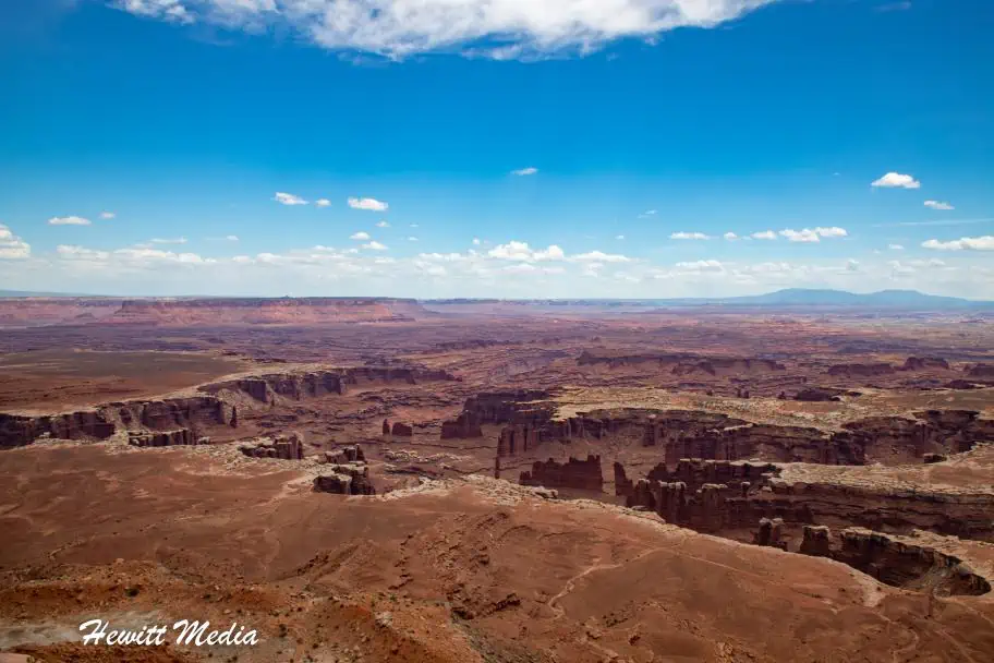
Grand Viewpoint Overlook

Grand Viewpoint Trail Stats
| Trail Type: | Out-and-Back |
| Distance: | 1.9 miles/3.1 kilometers |
| Elevation Gain: | 164 feet/50 meters |
| Time to Complete: | 0.5 to 1 hours |
| Difficulty Level: | Easy |
| District: | Island in the Sky |
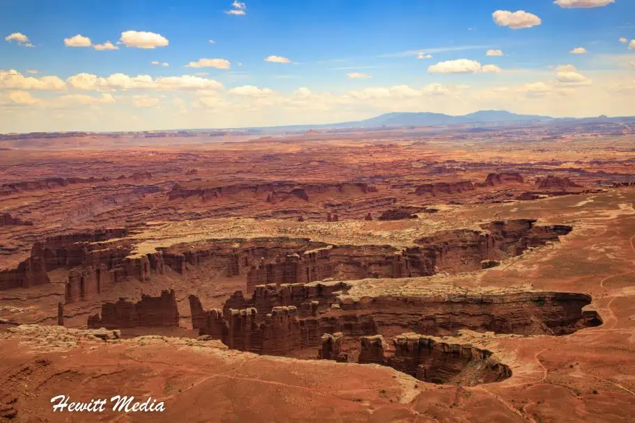
If you want to get a true sense of why they call this park Canyonlands, then look no further than the Grand View Point. You will be in awe of the massive expanse of canyons that fills your view. It is truly breathtaking.
The Grand View Point Trail is a fairly flat and easy trail to hike, but many sections of the trail are not very well defined, so make sure you pay close attention to where you are going. There are plenty of cairns to guide your way, but if you aren’t accustomed to hiking by cairns, you might want to take it slow.
Grand Viewpoint Trail Map
Accessing the Trail
From the Island in the Sky Visitor Center, drive roughly 6 miles south on the Grand Viewpoint Road. At the junction of Upheaval Dome/Grand View Roads, stay left toward Grand Viewpoint for six miles until you get to the Grand View Trailhead.
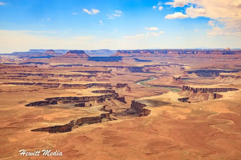
Green River Overlook

Green River Overlook Trail Stats
| Trail Type: | Out-and-Back |
| Distance: | 0.2 miles/0.3 kilometers |
| Elevation Gain: | 29 feet/9 meters |
| Time to Complete: | 0.5 to 1 hours |
| Difficulty Level: | Easy |
| District: | Island in the Sky |
This hike might have the highest distance-to-payoff ratio in the park, as the hike itself is incredibly short and the view from the lookout is absolutely breathtaking. From the viewpoint, you can look down to see how the Green River has carved out miles of stunning canyons below. This path is wheelchair accessible, so it is enjoyable for all.
Green River Overlook Trail Map
Accessing the Trail
To get to the Green River Overlook, take the Grand Viewpoint Road South from the Island in the Sky Visitor Center for roughly 6 miles until you get to the intersection of Grand Viewpoint Road and the Upheaval Dome Road. Take a right on the Upheaval Dome Road and follow that road for roughly a quarter of a mile until you see the turn-off for the Green River Overlook Road. The overlook is roughly 1.3 miles down the road.
Slickrock Trail – The Needles

Slickrock Trail Stats
| Trail Type: | Loop |
| Distance: | 2.8 miles/4.5 kilometers |
| Elevation Gain: | 150 feet/46 meters |
| Time to Complete: | 1 to 1.5 hours |
| Difficulty Level: | Moderate |
| District: | The Needles |
The Slickrock Trail is such an underrated trail. It is unique in that you are hiking mostly on slick sandstone rock (which is neat by itself), but you are also hiking past some of the most interesting rock formations I have seen outside of Bryce Canyon National Park. The needles, or rock spires, create such an amazing landscape. Couple that with the fact that you are hiking almost entirely on the slick rock, and it is a pretty incredible hike.
Slickrock Trail Map
Accessing the Trail
From the Needles Visitor Center, drive 6.2 miles west on the main park road (highway 211), past Squaw Flat Road, until you get to the Slickrock Trailhead.
Shafer Canyon Overlook

Shafer Canyon Overlook Trail Stats
| Trail Type: | Out-and-Back |
| Distance: | 0.3 miles/0.5 kilometers |
| Elevation Gain: | 72 feet/22 meters |
| Time to Complete: | 0.5 to 1 hours |
| Difficulty Level: | Moderate |
| District: | Island in the Sky |
One of the more popular viewpoints in Canyonlands National Park, the Shafer Canyon Overlook provides some of the most grand and spectacular views in the park. From this viewpoint, you can get a real sense of where the name for the Island in the Sky district came from.
You absolutely feel as though you are in the sky looking down on this magnificent landscape. Be aware that because it is one of the more popular and easier-to-access viewpoints in the park, it can also be one of the most crowded.
Shafer Canyon Overlook Trail Map
Accessing the Trail
The viewpoint for the Shafer Canyon Overlook is very easy to locate. From the turn-off to the Island in the Sky visitor center, continue down the Grand Viewpoint Road for an additional 0.57 miles, and the Shafer Canyon Overlook turn-off will be on the left-hand side of the road.
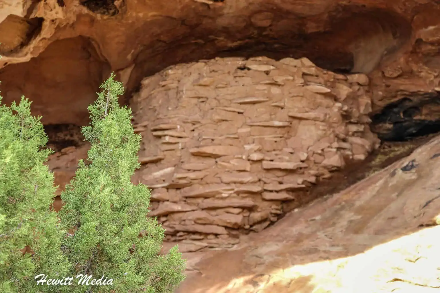
Roadside Ruin (Stone Storehouse)

Stone Storehouse Trail Stats
| Trail Type: | Loop |
| Distance: | 0.3 miles/0.5 kilometers |
| Elevation Gain: | 3 feet/1 meters |
| Time to Complete: | 0 to 0.5 hours |
| Difficulty Level: | Easy |
| District: | The Needles |
This short, easy trail isn’t much of a hiking challenge, but it does reward you with a piece of really cool history. The trail takes you to an ancient ancestral Puebloan granary built of stone and dried mud. It’s fascinating to see history this well preserved in our parks, and it is definitely worth checking out if you are in the Needles District of Canyonlands National Park.
Stone Storehouse Trail Map
Accessing the Trail
The trailhead for the Roadside Ruin is located along the main access road (highway 211), just past the Needles Visitor Center. The rock granary is built into the rocks just a short distance off the road. There is a marked loop trail that takes you to the granary and back.
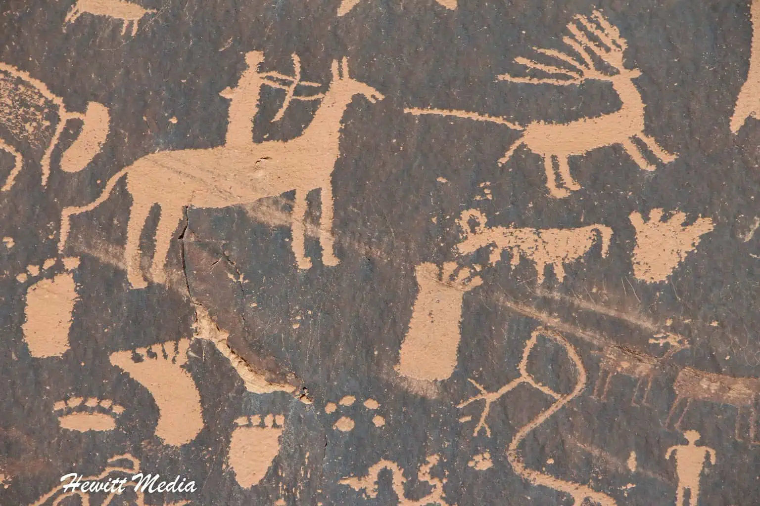
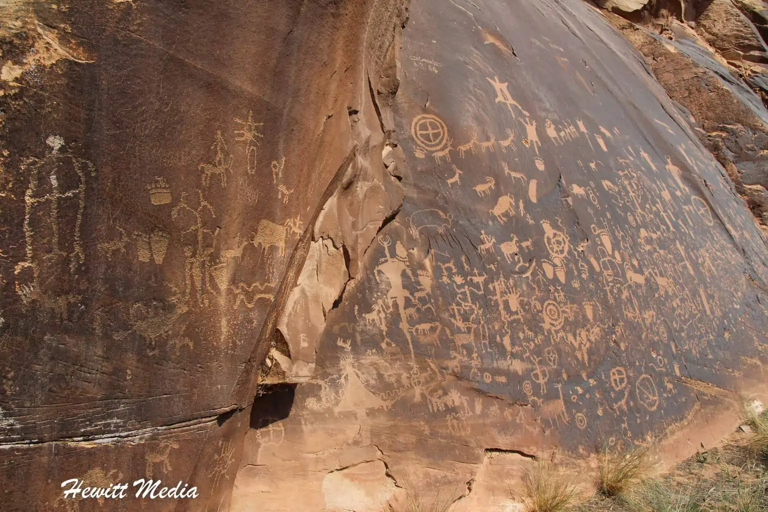
Newspaper Rock

Newspaper Rock isn’t technically inside Canyonlands National Park, but it might as well be, as it is situated along the well-traveled access road that takes you into the Needles District. It features a spectacular selection of Native American rock art. This Petroglyph Panel has some of the most well-preserved and fascinating Petroglyphs I have seen in the United States National Park system.
Accessing the Trail
If you are coming from Moab, you will want to take Highway 191 South for approximately 39 miles, and then turn right onto Highway 211 towards Canyonlands National Park. You will stay on Highway 211 for approximately 12 miles. Look for signs along the side of the road for Newspaper Rock. There will be parking available to pull off to see the Petroglyphs.
Wooden Shoe Arch

Wooden Shoe Arch is an interesting rock formation within the Needles District of Canyonlands National Park. While it isn’t the most interesting rock formation within the park, it is a fairly well-known landmark within the park that is worth viewing should you be in the Needles District.
Accessing the Trail
To get to the Wooden Shoe Arch Viewpoint, take the main road (highway 211) South from the Needles District Visitor Center for approximately 2 miles.
Tours and Excursions Near Canyonlands

In addition to the things to see and do in Canyonlands, there are also fun things to do outside the park. The nearby city of Moab, Utah, is widely considered to be the outdoor adventure capital of the American Southwest. In and around Moab, you will find a wide array of fun tours and excursions to enjoy. To assist you in your planning, I have included links to some top tours and excursions for you to review below.
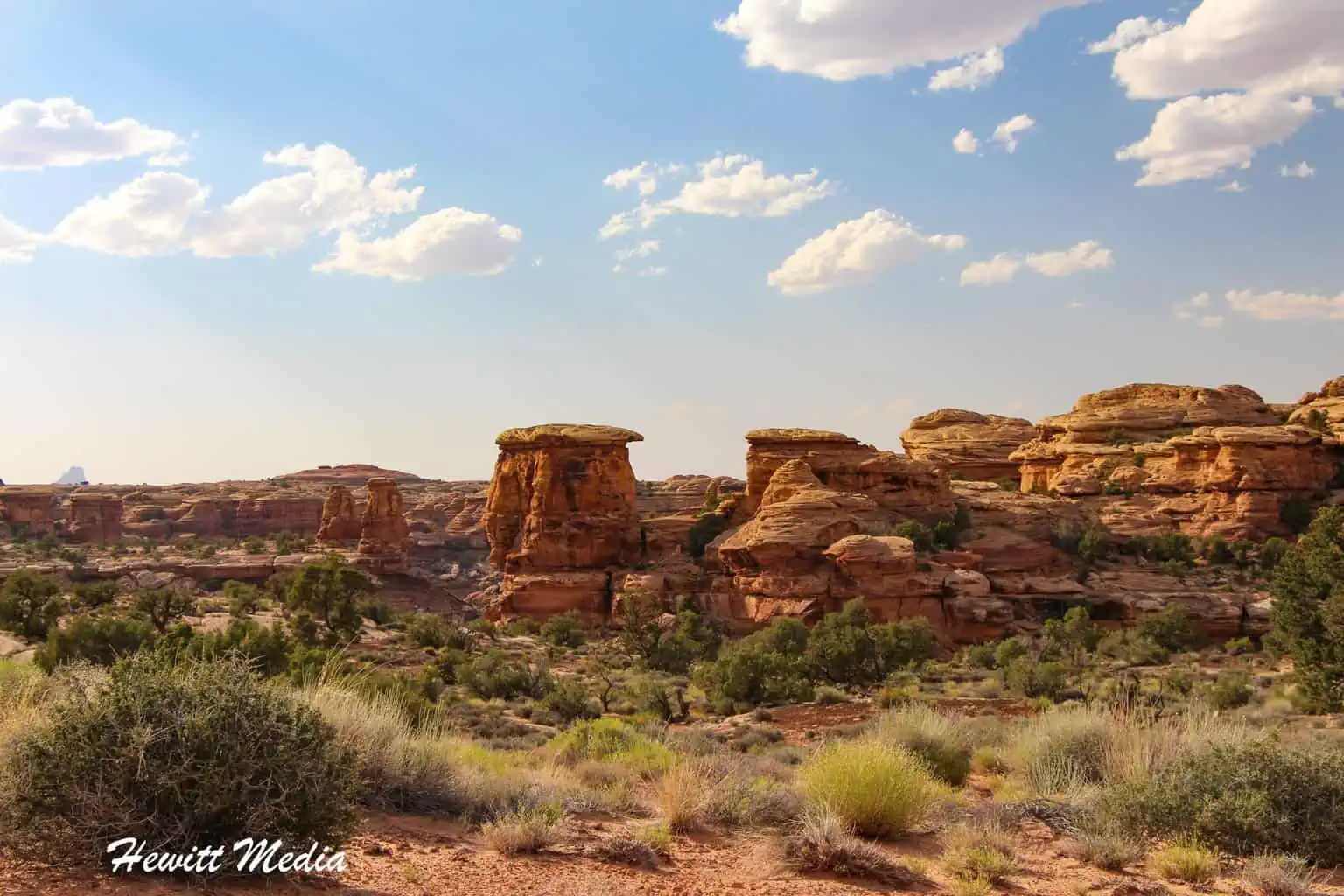
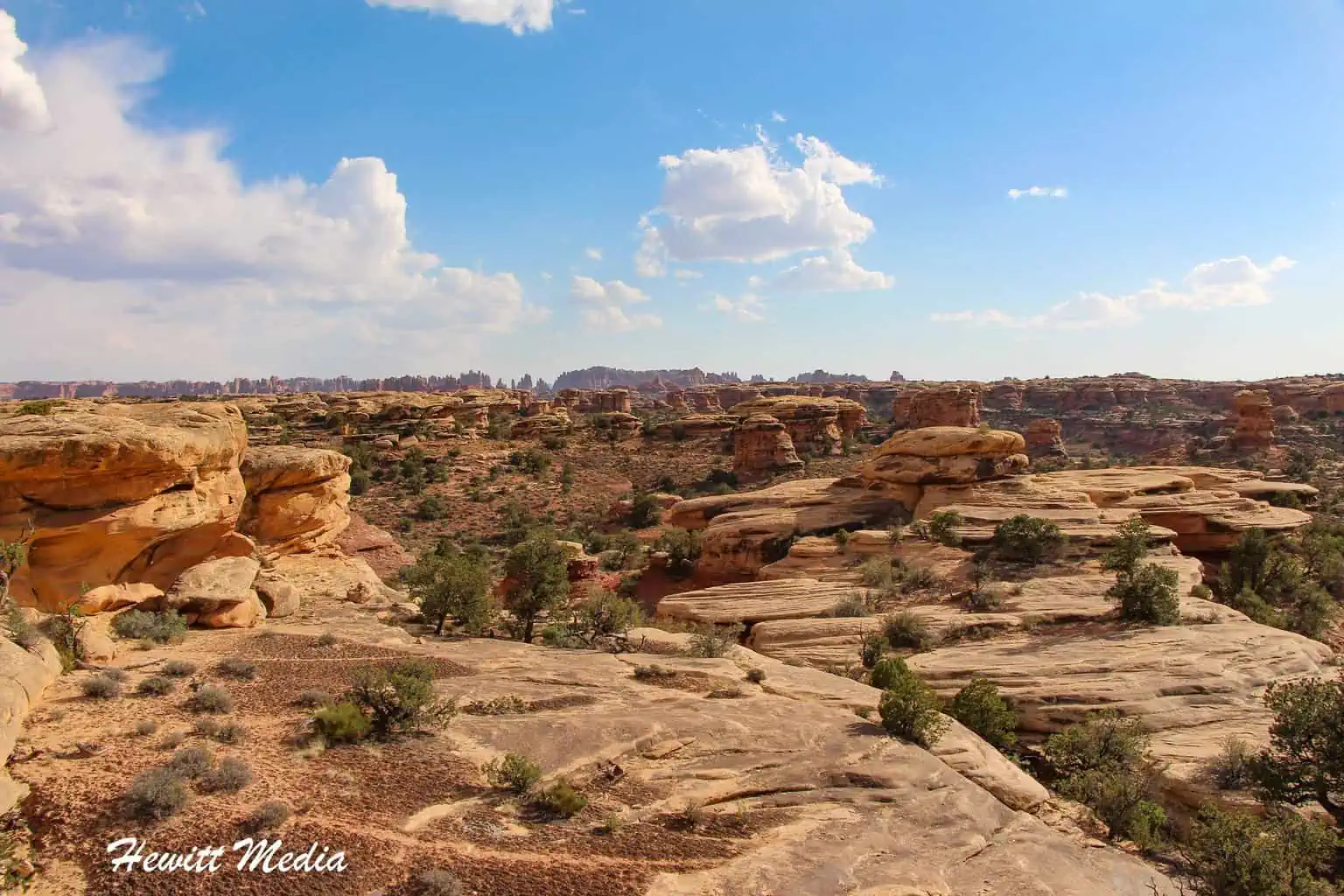
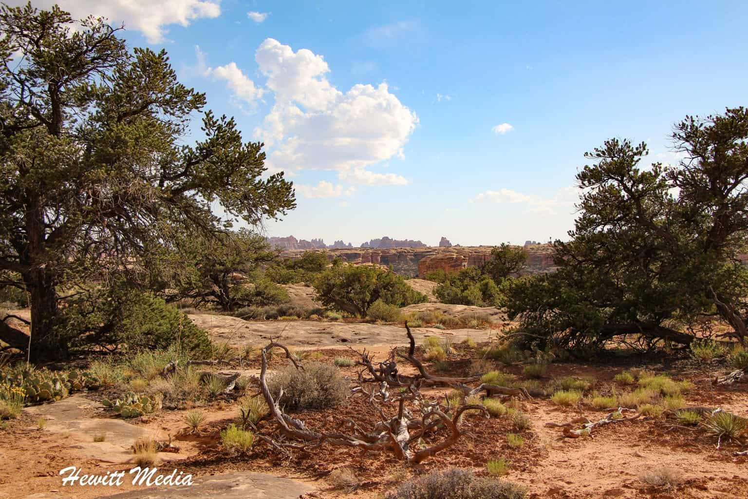
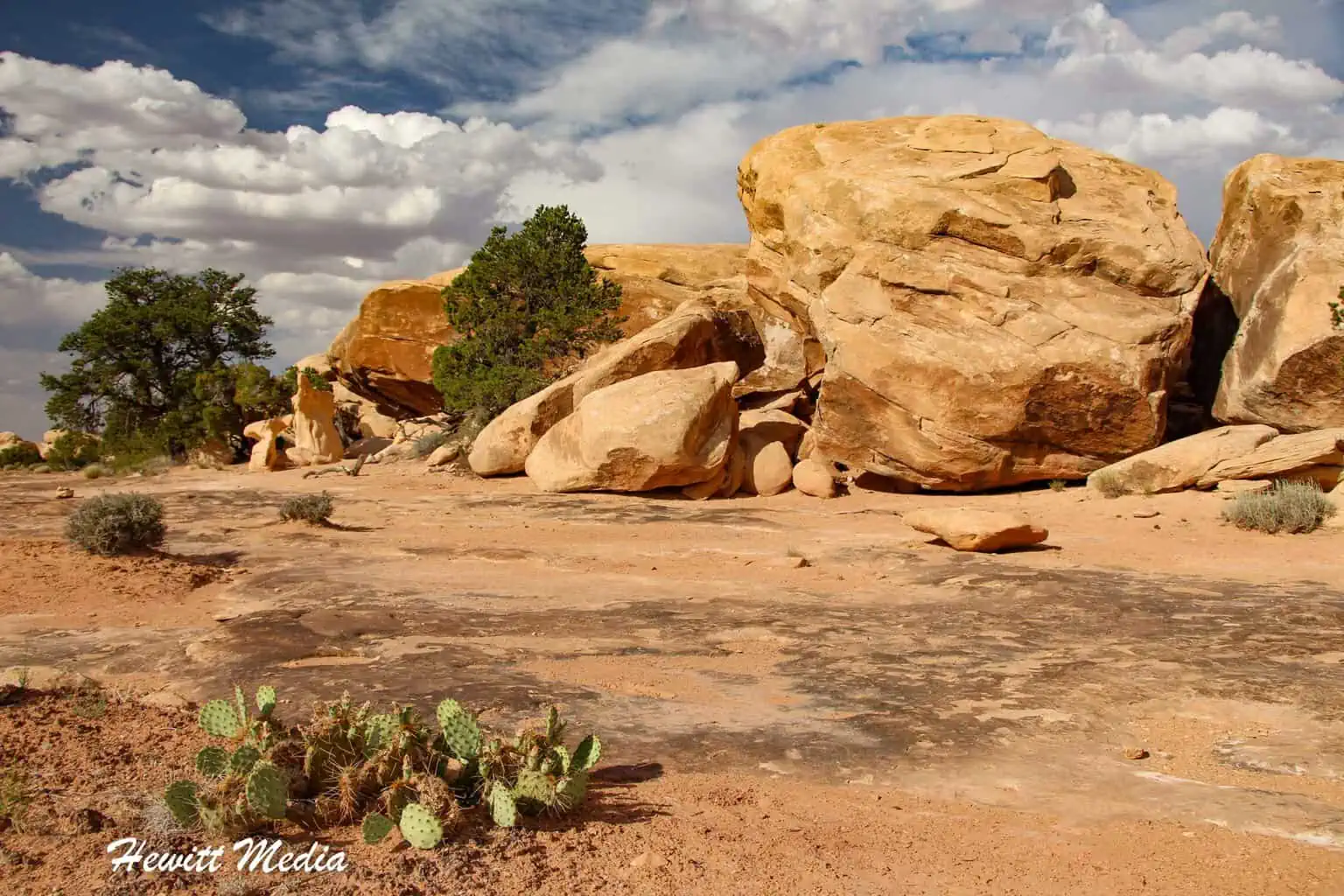
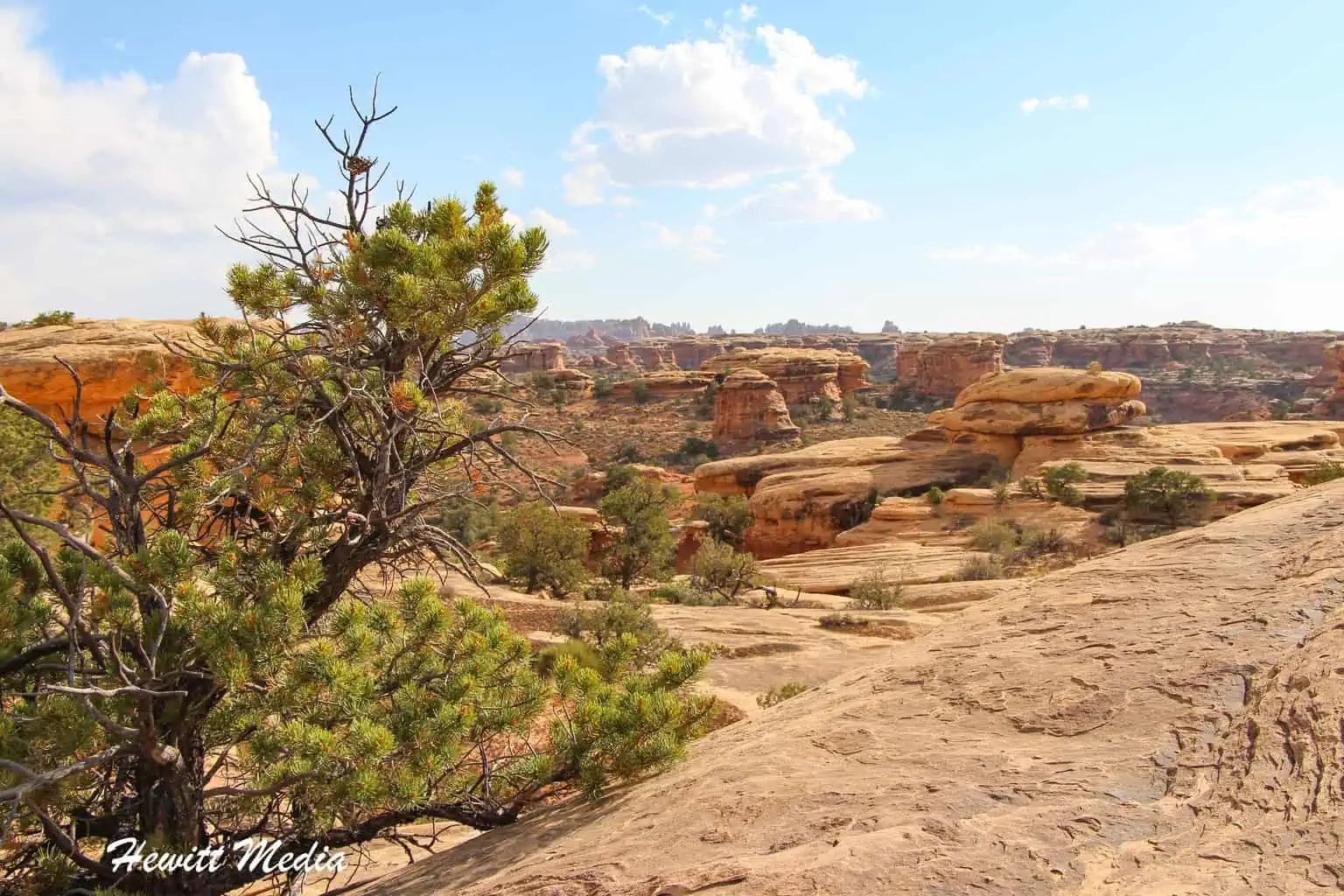
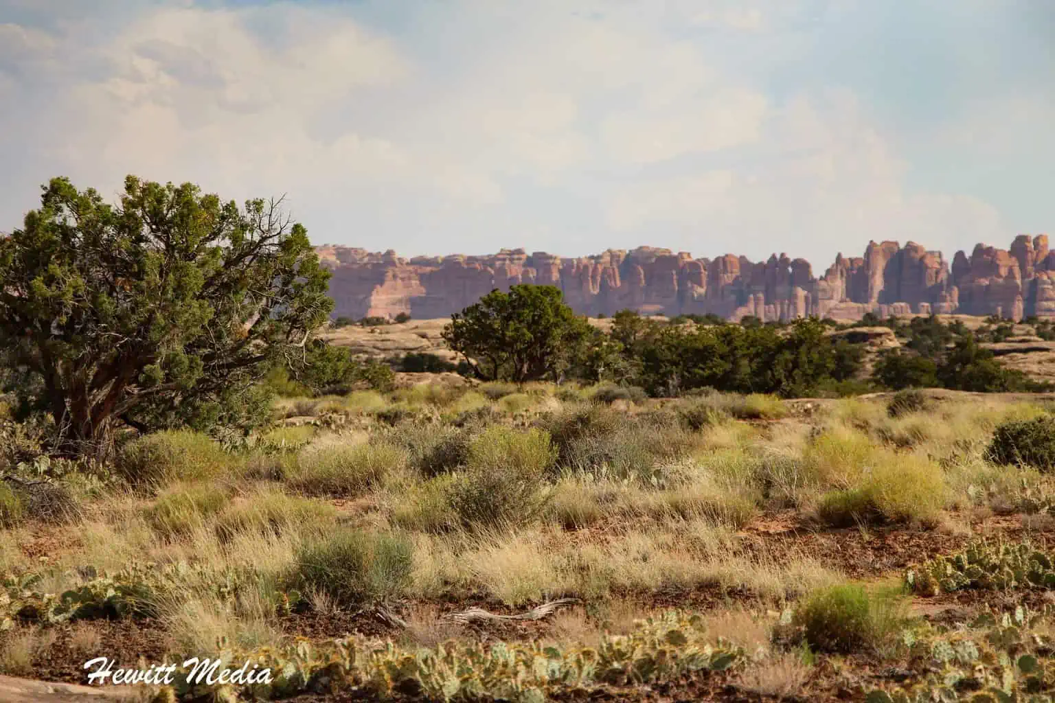
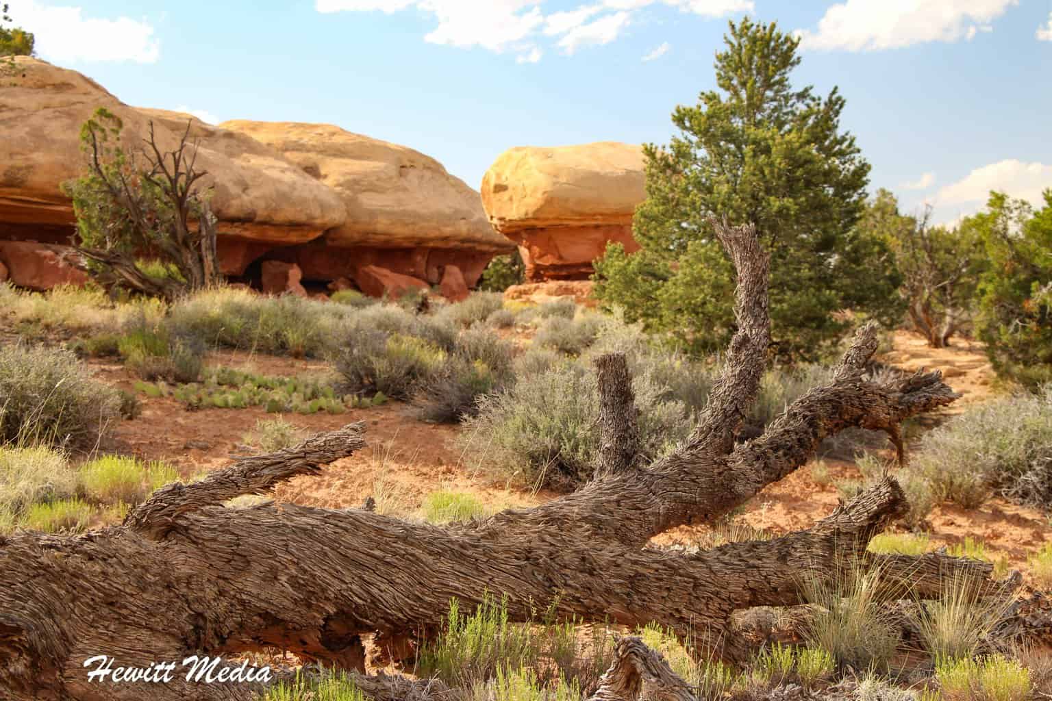
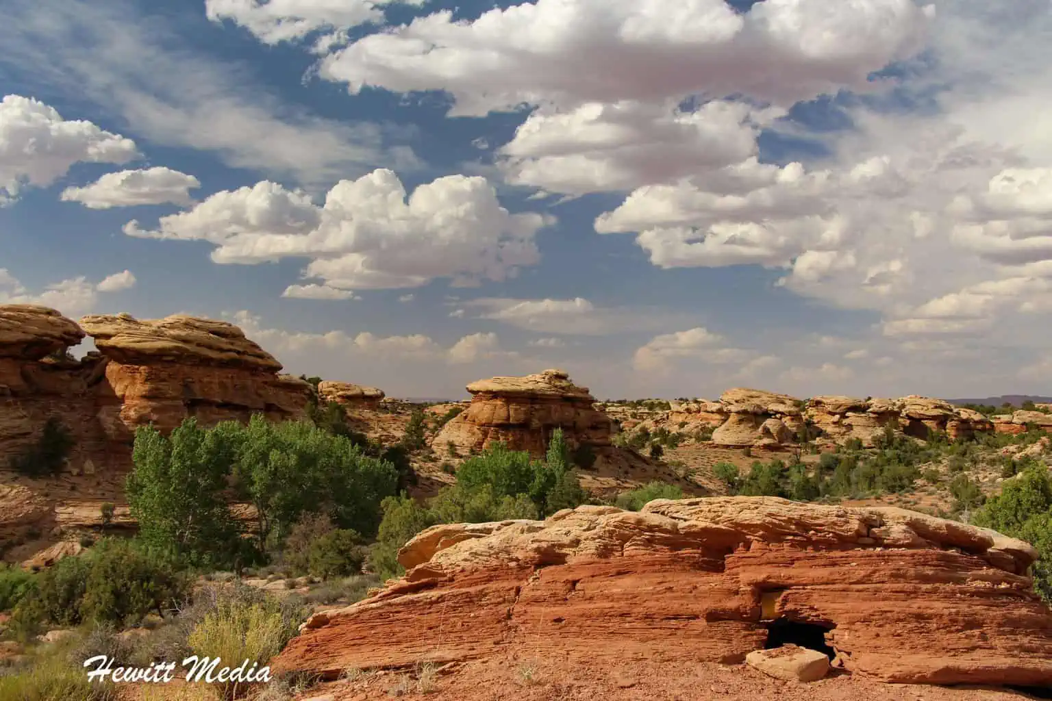
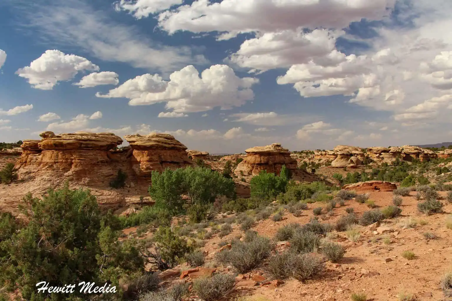
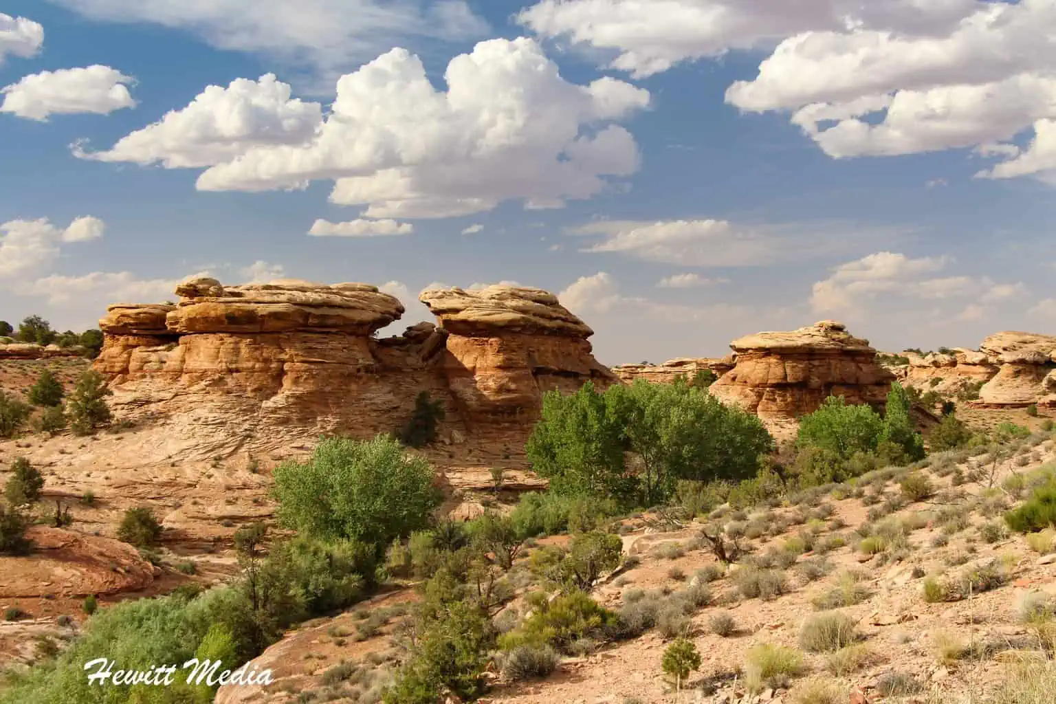
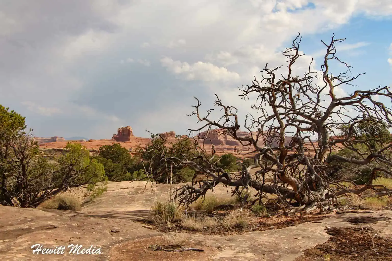
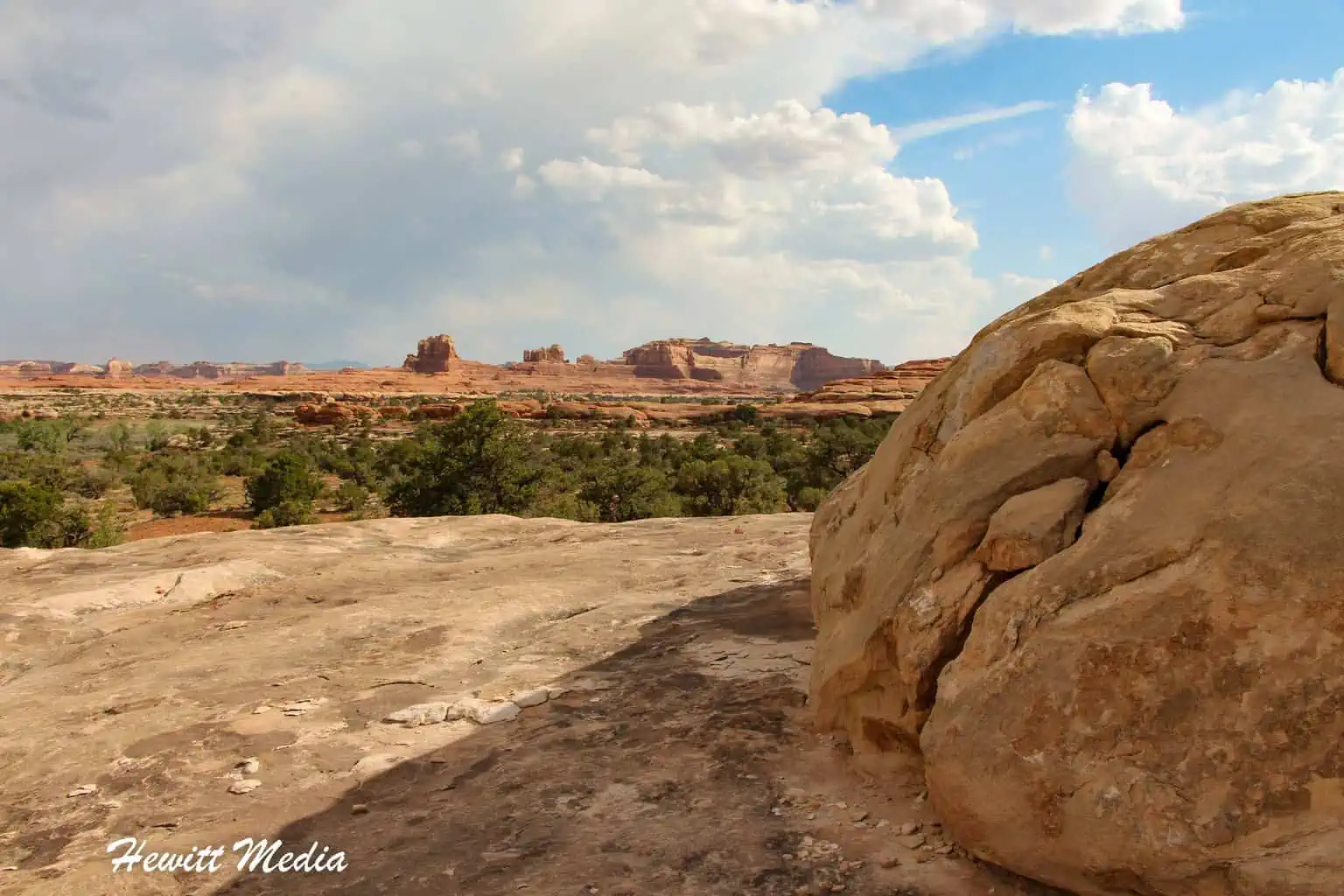
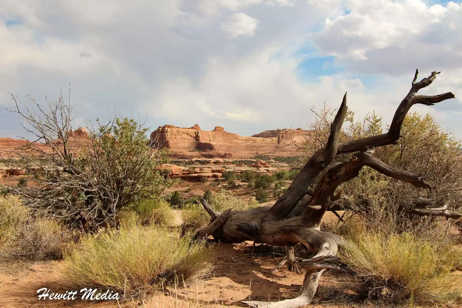
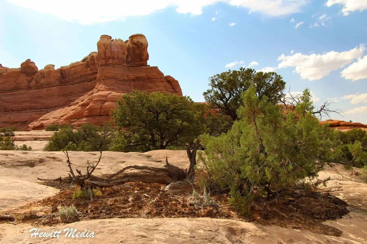
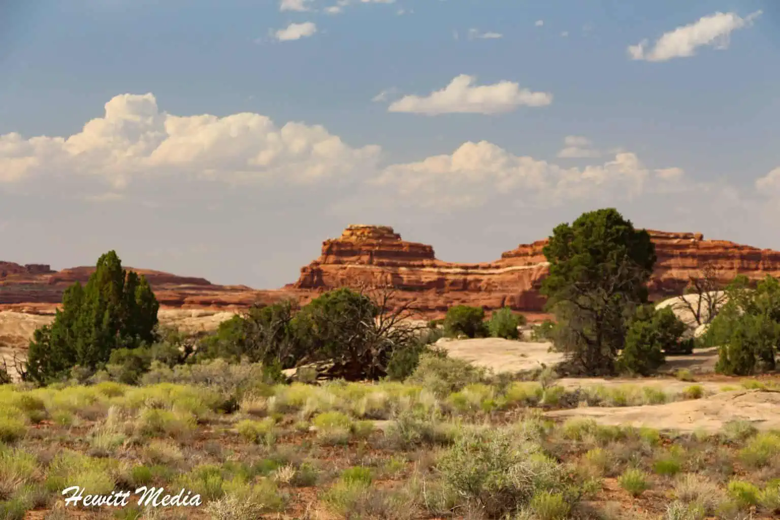
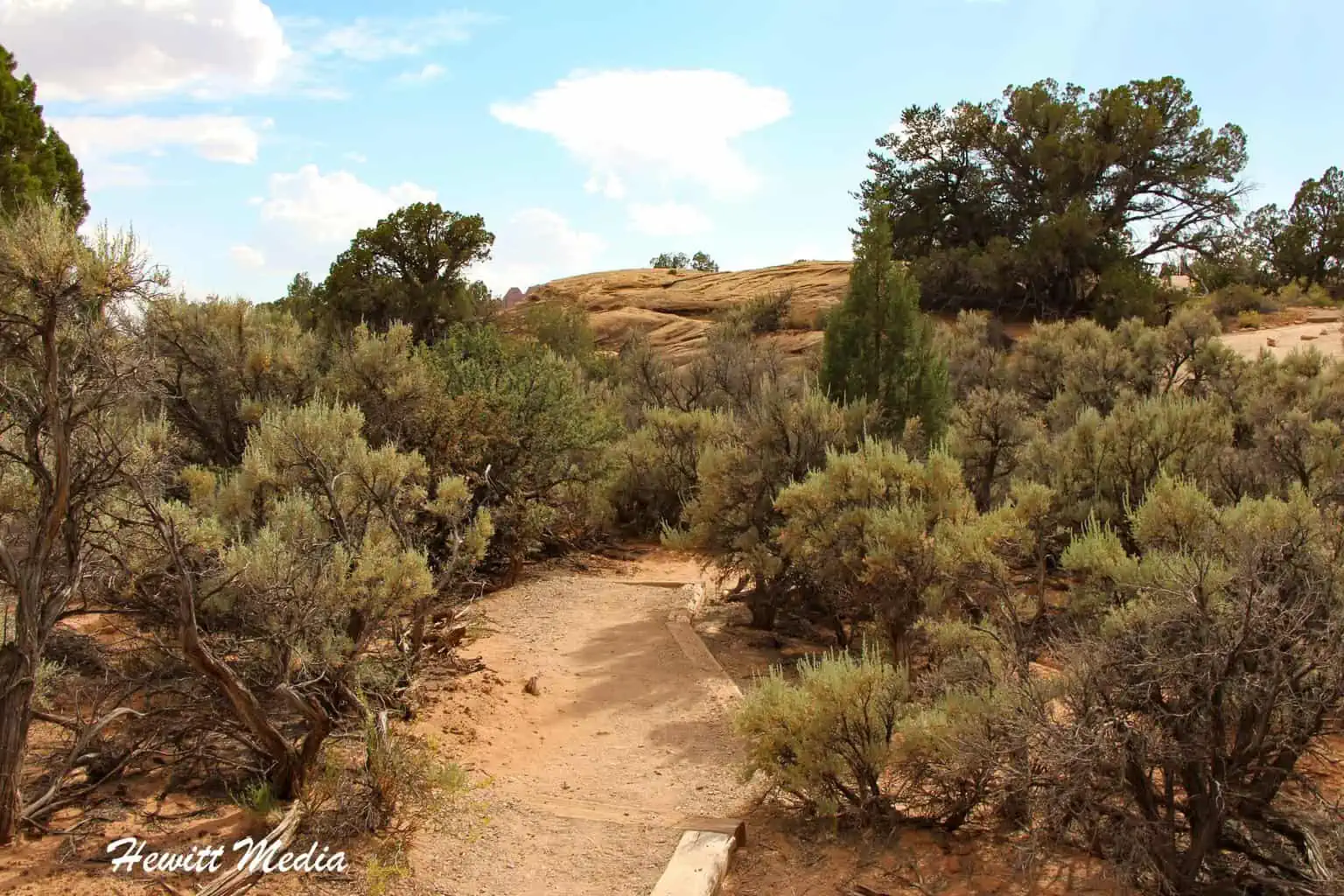
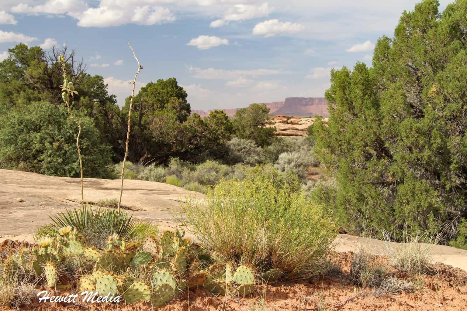
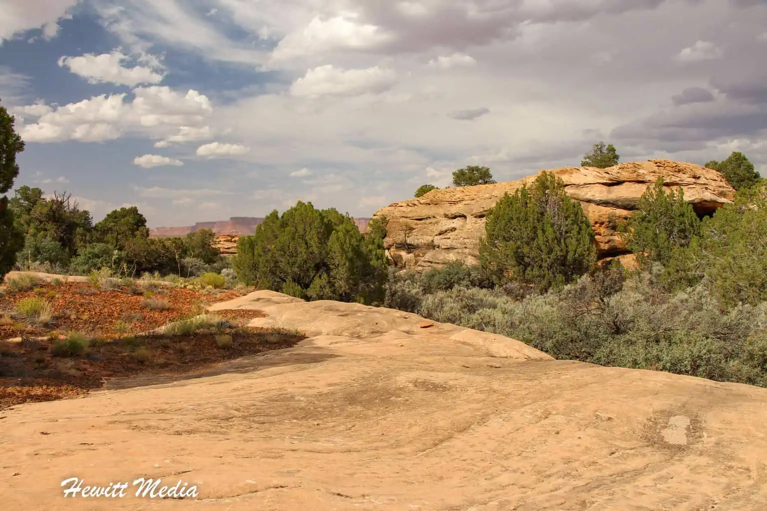
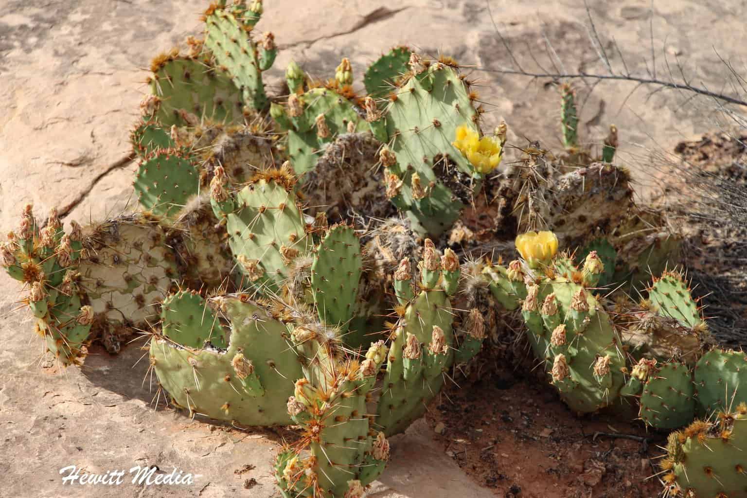
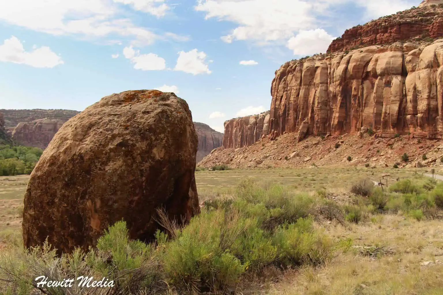
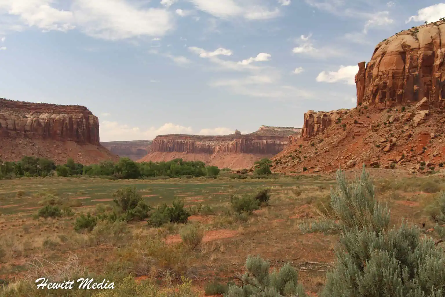
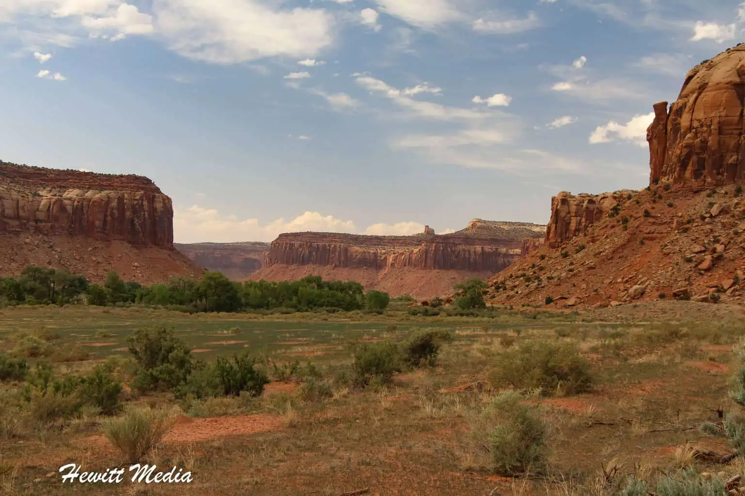
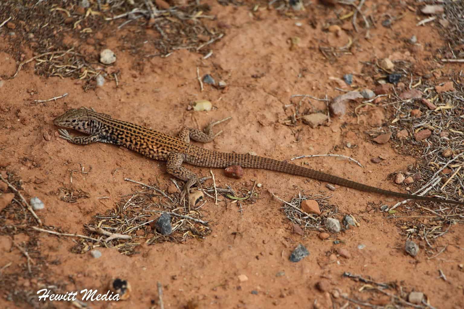
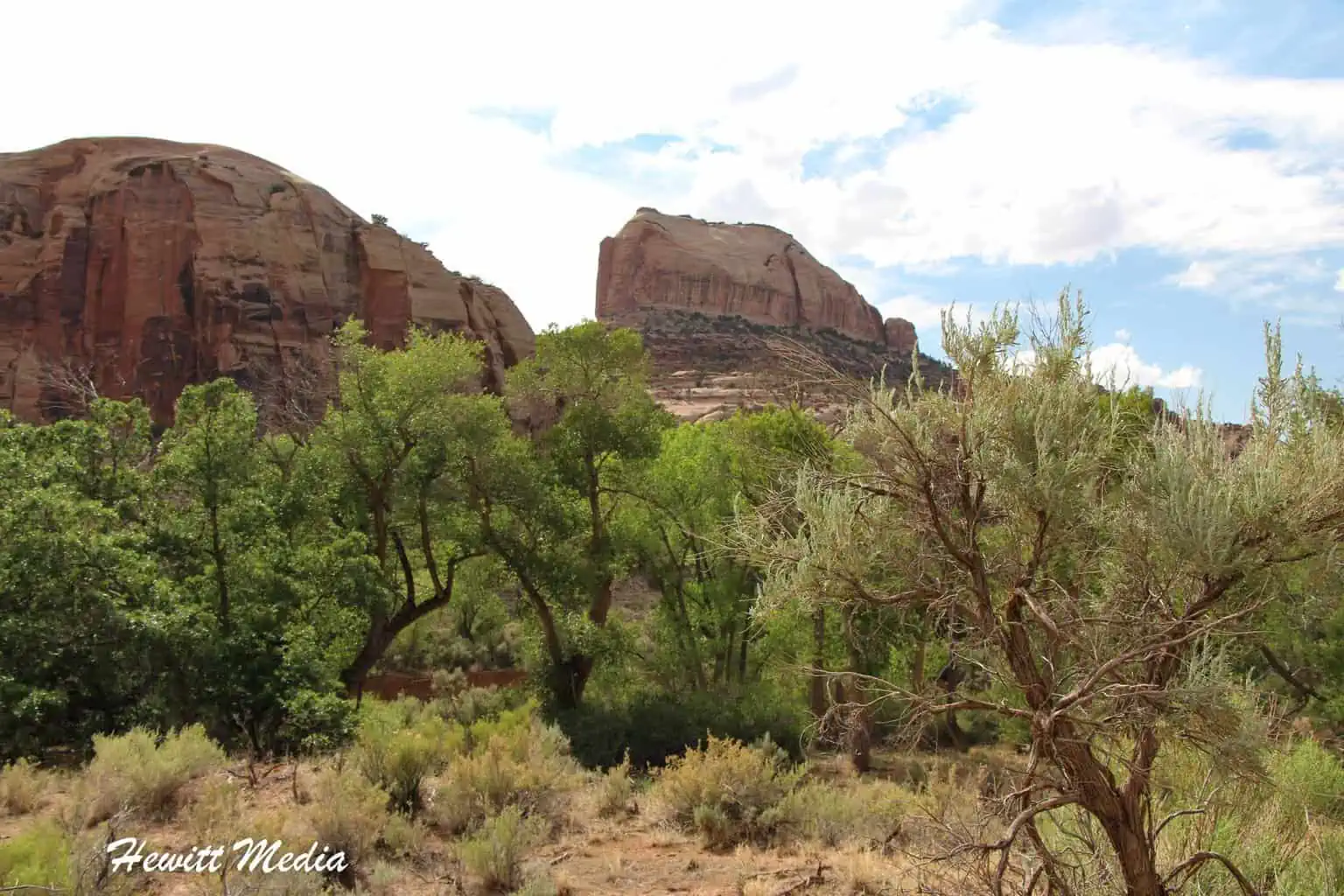
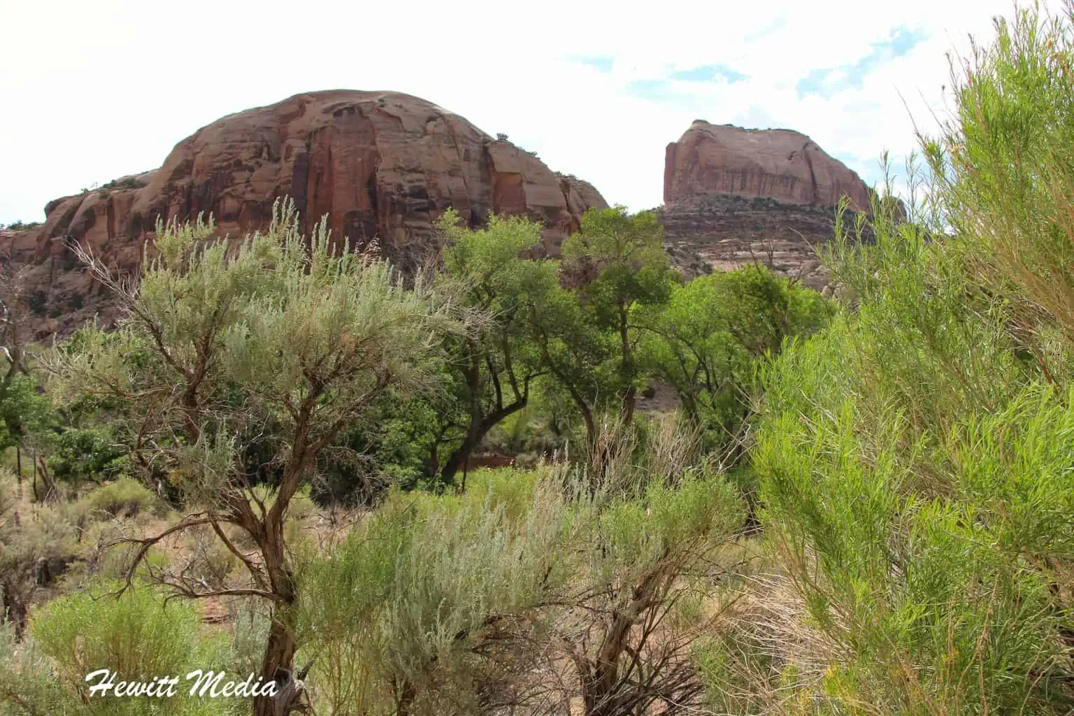
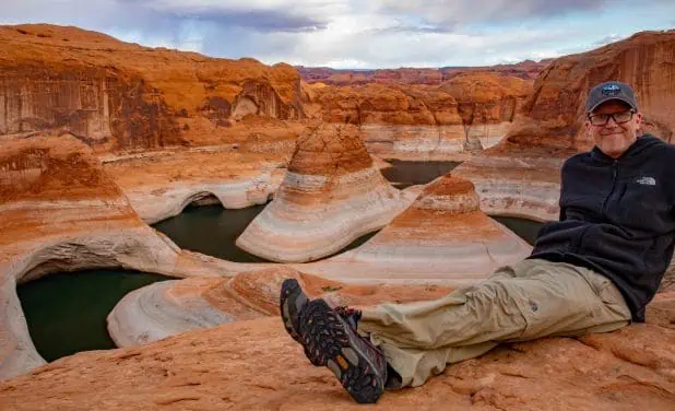
Canyonlands Photo Gallery
Canyonlands National Park is such an amazing place. There are so many beautiful vistas and fascinating rock formations. Here are just some of the pictures I have taken on my trips to visit this wonderful national park.
If you’re interested in exploring more of my travel photography, I’d love for you to join me on Instagram! Creating this blog to share my free guides, itineraries, and travel photography tips takes a lot of effort, and a follow on Instagram would truly mean the world to me. Your support makes it all worthwhile!
FOLLOW ME!


Don’t Forget to Subscribe to My Adventures!

Let Me Help You Save On Your Next Adventure!
‘Start Exploring Today’ Merchandise Available Now!
 |
 |
 |
 |
 |
 |
 |


Hii Josh, Nice travel guide I must say. I live in Phoenix and will definitely plan for Canyonland.
Thank you so much!! Canyonlands is one of my favorites. You will love it!
This is one of the most in-depth, thorough travel guides I have ever seen. You covered everything someone would need to know about Canyonlands National Park. Great info here Josh!
Thank you so much for the kind words!! That means SO much to me! I am glad you enjoyed it 😀👍