This Custer State Park guide post contains my Hotels.com, Expedia, Vrbo, and Viator affiliate links. I may receive a commission when you book a hotel or tour from this article, though at no additional cost to you. I hand-pick and recommend only the hotels and tours that I have thoroughly researched and feel comfortable recommending.
This Custer State Park guide highlights a landscape shaped by towering granite spires, rolling prairies, and quiet mountain lakes—an unforgettable blend of rugged terrain and peaceful scenery that draws travelers back year after year. It’s a place where dramatic views and calm, open spaces come together to create a truly memorable experience.
Across its 71,000 acres, you’ll find scenic drives, wildlife roaming the grasslands, and trails that lead to sweeping Black Hills views. Whether you’re here for hiking, photography, or simply exploring the open landscape, Custer State Park offers a classic mix of nature, wildlife, and wide‑open space.
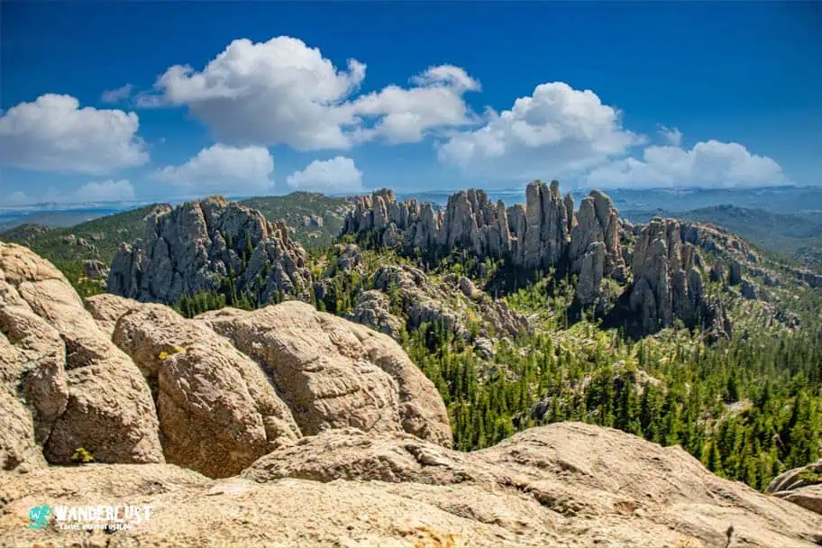
This guide covers everything you need for a smooth Custer State Park road trip, including how to get to the park, the top things to see and do, the best times to visit, and where to stay nearby. It’s built to help you plan confidently and make the most of your time in one of South Dakota’s most beautiful outdoor destinations.
Custer State Park Guide Navigation Menu


How to Get to Custer State Park
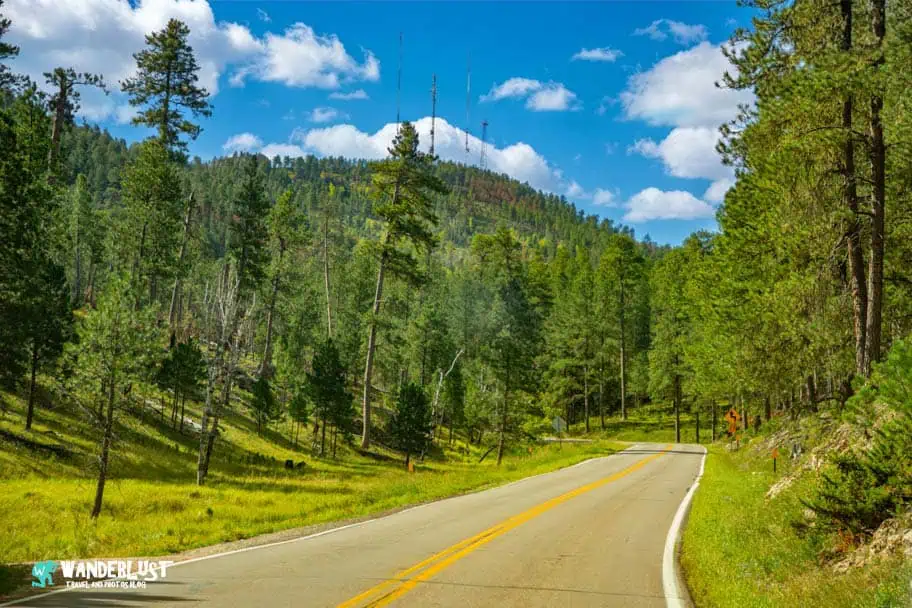
Custer State Park sits in the heart of the Black Hills of western South Dakota, surrounded by small mountain towns and easy access to larger regional hubs. This Custer State Park guide is built for travelers coming from places like Rapid City, Keystone, Hill City, and Custer—each offering quick access to the park’s scenic drives, lakes, and trailheads.
The best way to reach the park is by flying into Rapid City Regional Airport, the closest airport and the main gateway for Black Hills travel. From there, it’s an easy drive south into the mountains. Travelers coming from farther away often use Denver International Airport, which offers more flight options and a straightforward drive north into South Dakota.
Below, I’ve included a table outlining driving distances from nearby cities and major attractions, making it easy to plan your route and understand what’s within reach during your visit to Custer State Park.
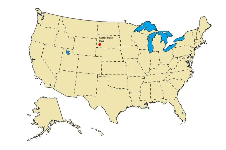
To understand where Custer State Park is located relative to other large cities and attractions in the region, please refer to the map and driving chart included in this Custer State Park guide below.
Driving Distance from Other Area Attractions
| City\Park | Distance | Drive Time | Notes |
|---|---|---|---|
| Crazy Horse Memorial | 10 miles | 0hrs 15min | Massive mountain carving honoring Native heritage. |
| Jewel Cave National Monument | 15 miles | 0hrs 20min | Third‑longest cave system; scenic underground tours. |
| Wind Cave National Park | 20 miles | 0hrs 25min | One of the world’s longest caves; unique boxwork formations. |
| Mount Rushmore National Memorial | 20 miles | 0hrs 30min | Iconic presidential carvings set in granite cliffs. |
| Rapid City, SD | 40 miles | 0hrs 50min | Closest airport (RAP). Regional hub with flights to Denver, Minneapolis, Chicago, Dallas. |
| Bear Butte State Park | 55 miles | 1hr | Sacred site with panoramic summit views. |
| Spearfish Canyon | 65 miles | 1hr 20min | Waterfalls, limestone cliffs, and scenic drives. |
| Badlands National Park | 80 miles | 1hr 30min | Dramatic eroded formations and rich fossil beds. |
| Devils Tower National Monument | 110 miles | 2hrs | Towering volcanic monolith sacred to Plains tribes. |
| Agate Fossil Beds National Monument | 120 miles | 2hrs | Miocene‑era fossils and unique geology. |
| Theodore Roosevelt National Park | 300 miles | 4hrs 30min | North Dakota Badlands with bison, elk, and scenic overlooks. |
| Denver, CO | 360 miles | 5hrs 30min | DEN is a major international airport with extensive domestic and global routes. |
| Minneapolis, MN | 500 miles | 8hrs | MSP is a large Midwest international hub with frequent flights nationwide. |
Top Things to See and Do in Custer State Park
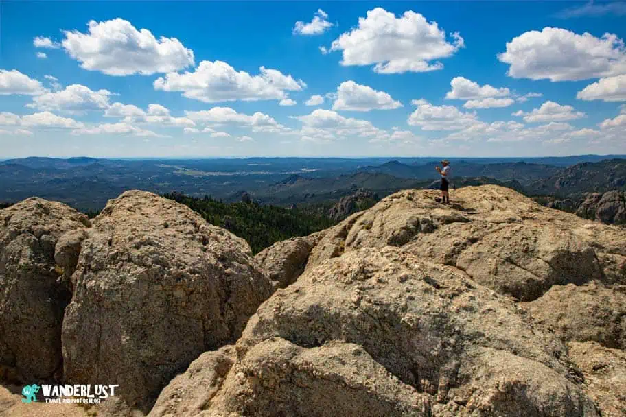
The Black Hills pack an incredible amount of scenery and adventure into a relatively small area, and this Custer State Park guide brings together the park’s most iconic experiences. From wildlife-filled prairies to granite spires, peaceful lakes, and winding mountain roads, the park offers a wide variety of things to see and do for hikers, families, photographers, and road‑trippers alike.
Wildlife Loop Road

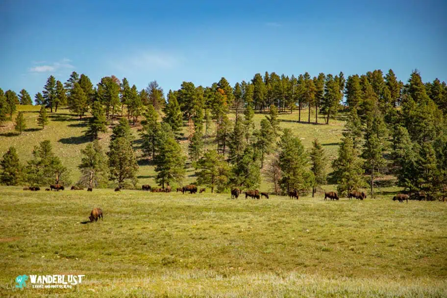
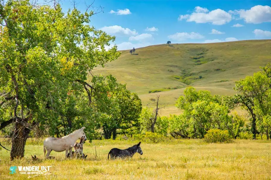
The Wildlife Loop is one of the park’s signature attractions, stretching across open grasslands where bison, pronghorn, deer, coyotes, and wild burros roam freely. Driving the loop feels like stepping into a living prairie ecosystem, with wildlife often crossing the road or grazing just feet away. Sunrise and sunset offer the best lighting and the most active wildlife, making this drive a must‑do for photographers and nature lovers.
Sylvan Lake
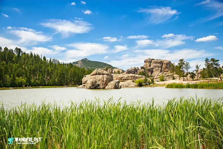
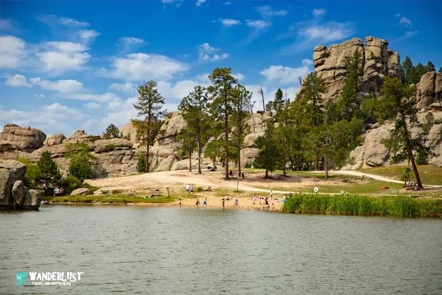
Sylvan Lake is a calm, mirror-like mountain lake surrounded by towering granite walls, making it one of the most photographed places in the Black Hills. Visitors can enjoy swimming, kayaking, paddleboarding, or simply relaxing along the shoreline. The easy loop trail around the lake provides beautiful views from every angle and serves as a gateway to several popular hikes, including Black Elk Peak and the Sunday Gulch Trail.
Needles Highway
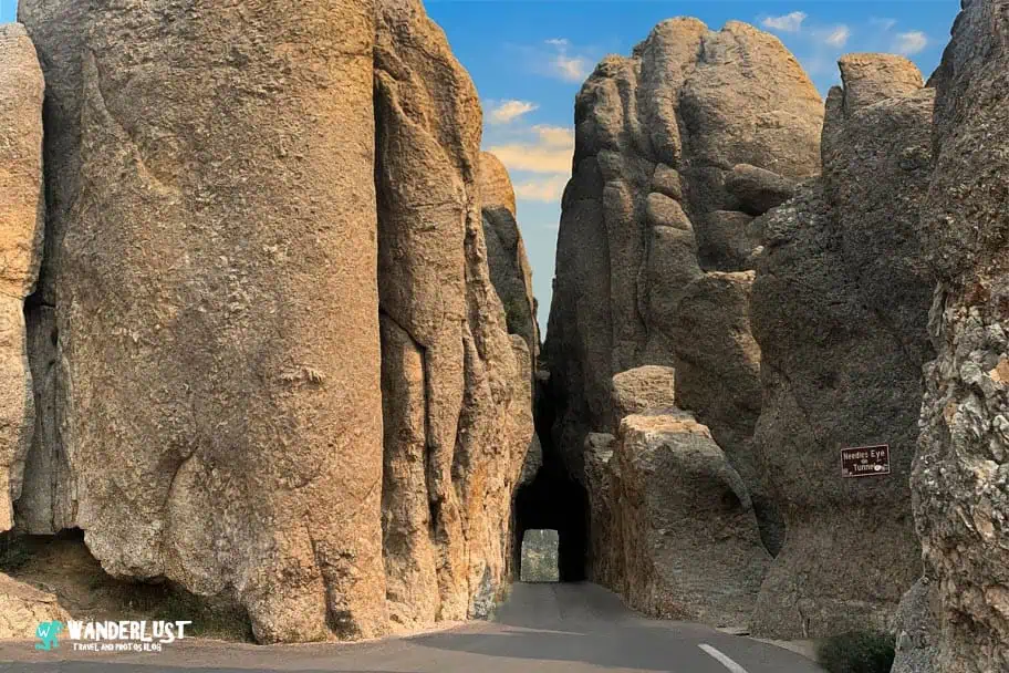
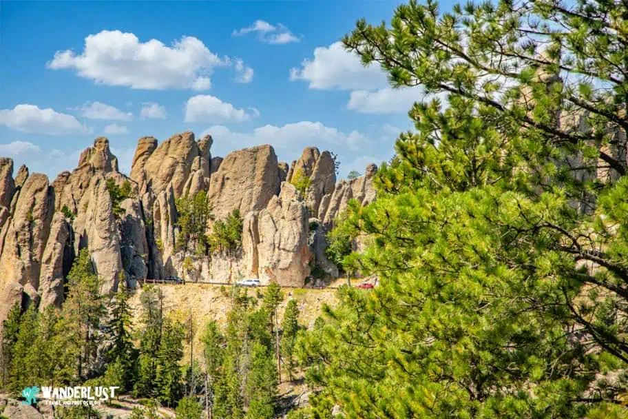
Needles Highway is a scenic drive carved through narrow rock passages and towering granite spires. The road winds through forests and dramatic rock formations, eventually passing through the famous Needles Eye Tunnel—a tight squeeze that makes for unforgettable photos. With slow speeds and plenty of pull-offs, this drive is all about savoring the scenery and experiencing the rugged beauty of the Black Hills.
Cathedral Spires Trail
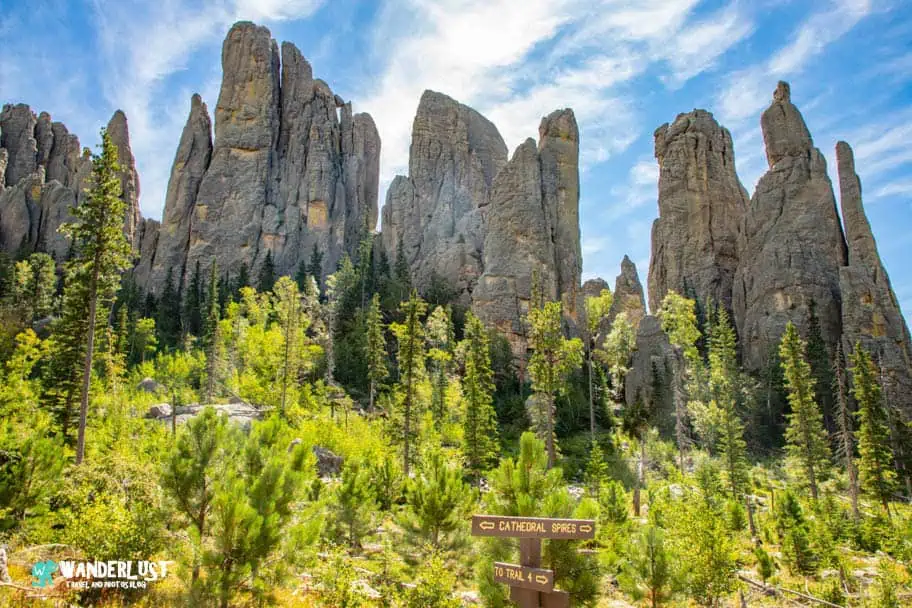
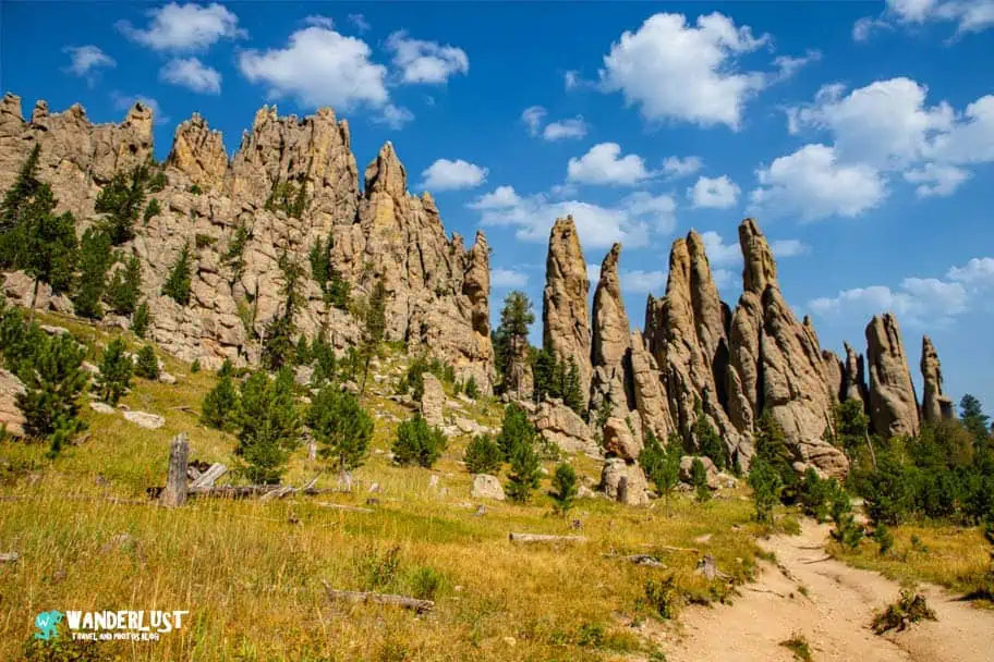
This moderately challenging trail leads hikers directly into a cluster of sharp granite pinnacles known as the Cathedral Spires. The hike offers sweeping views, rugged terrain, and a sense of adventure without being overly long. It’s a great choice for travelers who want a rewarding hike with dramatic scenery but don’t have time for a full-day trek.
| Trail Stats | |
|---|---|
| Trail Type: | Out-and-Back |
| Distance: | 1.7 miles/2.7 kilometers |
| Elevation Gain: | 501 feet/153 meters |
| Time to Complete: | 1.5 to 2.5 hours |
| Difficulty Level: | Moderate |
| Trail Map |
|---|
Little Devil’s Tower Trail

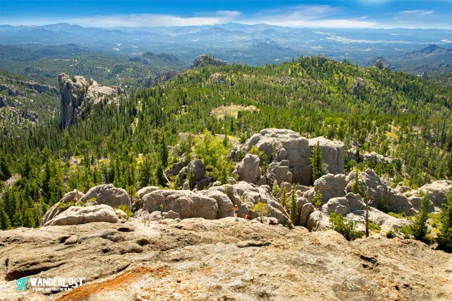
Little Devil’s Tower is a shorter, less strenuous alternative to Black Elk Peak, but still delivers big panoramic views. The trail includes a fun, hands-on scramble near the top, where hikers climb over granite slabs to reach the summit. From there, you’ll enjoy wide-open vistas of the Black Hills and the surrounding wilderness.
| Trail Stats | |
|---|---|
| Trail Type: | Out-and-Back |
| Distance: | 3.8 miles/6.1 kilometers |
| Elevation Gain: | 784 feet/239 meters |
| Time to Complete: | 2.5 to 3 hours |
| Difficulty Level: | Difficult |
| Trail Map |
|---|
Black Elk Peak Trail
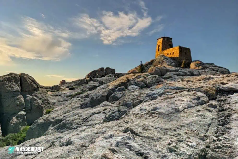
Black Elk Peak is the highest point east of the Rockies, offering a full-day hiking experience through forests, granite formations, and sweeping mountain views. The summit features a historic stone fire tower that provides 360-degree views of the Black Hills. It’s one of the most iconic hikes in the region and a bucket-list experience for many visitors.
| Trail Stats | |
|---|---|
| Trail Type: | Loop |
| Distance: | 7.2 miles/11.6 kilometers |
| Elevation Gain: | 1,473 feet/449 meters |
| Time to Complete: | 3.5 to 4 hours |
| Difficulty Level: | Moderate |
| Trail Map |
|---|
Iron Mountain Road

Iron Mountain Road is famous for its pigtail bridges, scenic tunnels, and perfectly framed views of Mount Rushmore. The road twists and turns through the forest, offering a unique driving experience that blends engineering creativity with natural beauty. It’s a favorite among road‑trippers and photographers looking for dramatic Black Hills scenery.
Legion Lake
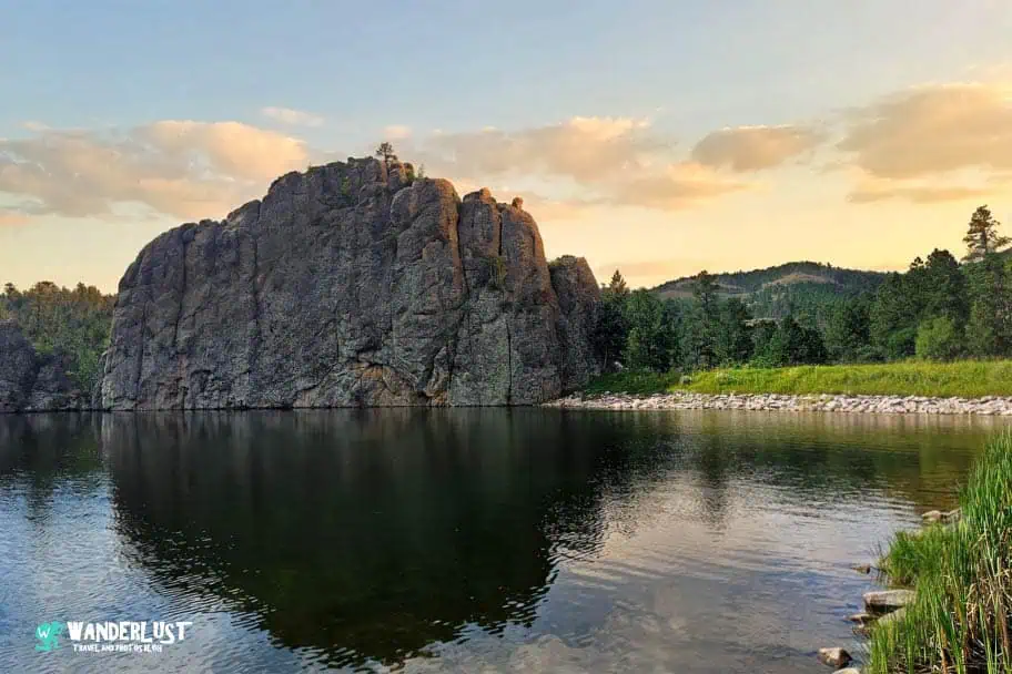
Legion Lake is a peaceful spot perfect for swimming, paddleboarding, and relaxing along the shore. Surrounded by gentle hills and forest, it offers a quieter alternative to Sylvan Lake. The nearby lodge and restaurant make it a convenient place to spend a few hours or enjoy a lakeside meal.
Stockade Lake
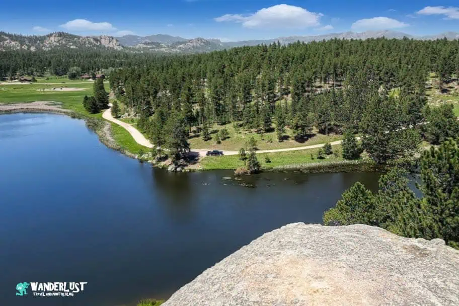
Stockade Lake is the largest lake in Custer State Park, offering plenty of space for boating, fishing, kayaking, and picnicking. Its wide shoreline and calm water make it ideal for families, and the surrounding hills provide beautiful backdrops for photos and sunset views.
The Bison Center
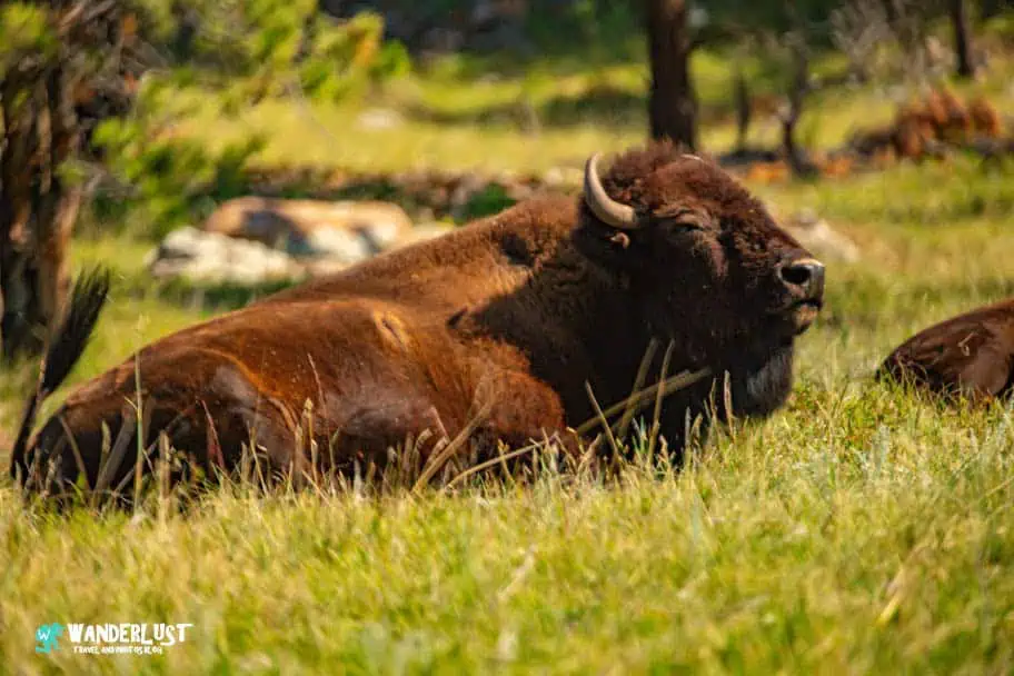
The Bison Center is a modern, interactive visitor center dedicated to the park’s famous bison herd. Exhibits explain the history of bison in the Black Hills, how the herd is managed today, and why the annual Buffalo Roundup is such an important event. It’s a great stop for learning more about the wildlife that defines Custer State Park.
Custer State Park Resources

Park resources make trip planning smoother, especially when you’re organizing a Custer State Park road trip and want to be fully prepared before you arrive. These tools and references provide additional information that helps you understand the park, navigate its roads, and make the most of your visit. I’ve included a great resource list for Custer State Park below to help you explore further.
- South Dakota Game and Fish Park Page
- Travel South Dakota Park Page
- BlackHillsBadlands.com Park Page
- Visit Rapid City Park Page
When to Visit Custer State Park
The best times to visit Custer State Park vary throughout the year, and choosing the right season can make a big difference in your experience. Weather patterns, average temperatures, and seasonal conditions all play a role in shaping a great Custer State Park road trip, whether you’re planning scenic drives, wildlife viewing, or long hikes. Each season offers something unique, so the ideal time to visit depends on what you want to see and do.
Average Temperatures (°F)
Average temperatures shift significantly across the year, influencing how comfortable outdoor activities feel. Spring and fall bring mild, pleasant weather that’s perfect for hiking and exploring without intense heat. Summer offers warm days ideal for swimming and lake activities, though midday temperatures can make longer hikes more challenging. Winter is cold and often snowy, creating a quiet, peaceful atmosphere but requiring extra preparation for icy roads and trails.
Average Precipitation (Inches)
Precipitation levels also affect the best times to visit. Spring tends to be wetter, which enhances the park’s greenery and boosts water flow in creeks and lakes. Summer storms are usually brief but can temporarily impact visibility or trail conditions. Fall generally brings drier, more stable weather, making it one of the most reliable seasons for outdoor exploration. Winter snowfall transforms the park into a serene landscape but can limit access to certain areas.
Other Things to See in the Area
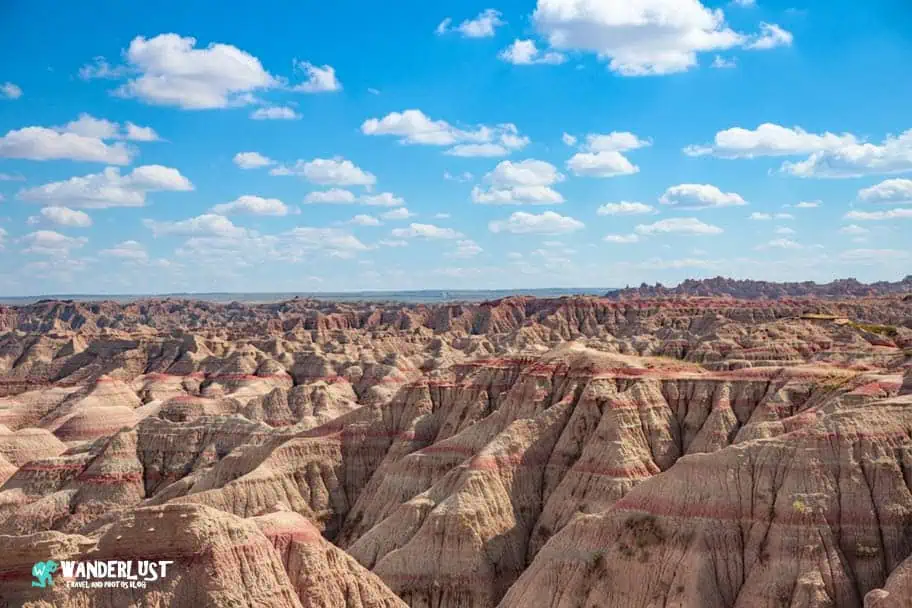
A variety of incredible parks and monuments surround the park, and this Custer State Park guide highlights how much there is to explore nearby. From rugged badlands to historic carvings, cave systems, and towering geological formations, each destination offers unique scenery and activities just a short drive from the park.
Badlands National Park
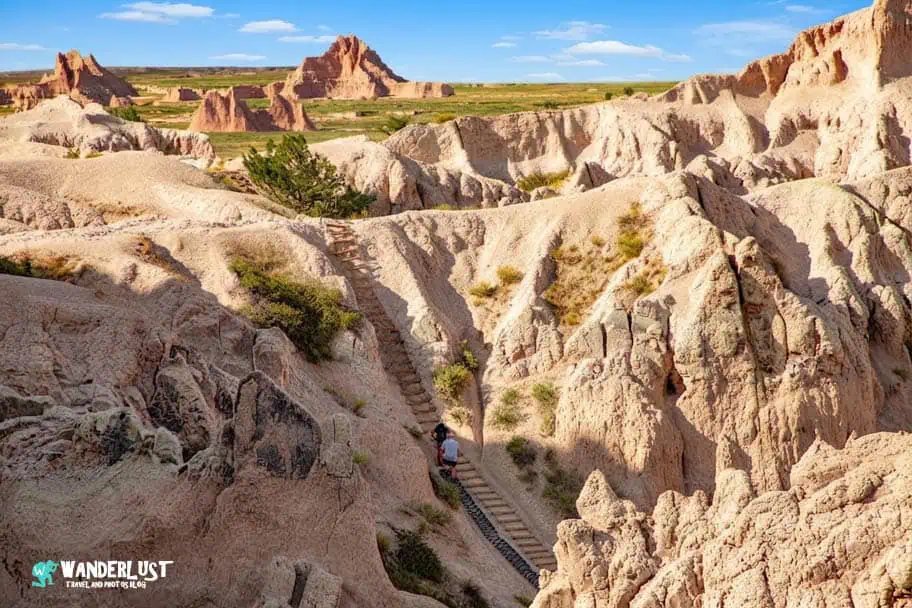
Badlands National Park features colorful layered rock formations, eroded canyons, and sweeping prairie views shaped by millions of years of wind and water. Visitors can explore scenic overlooks, hike short trails, watch for bighorn sheep, and enjoy dramatic sunrise and sunset photography. Badlands National Park is about 80 miles (roughly 1.5 hours) from Custer State Park.
Wind Cave National Park
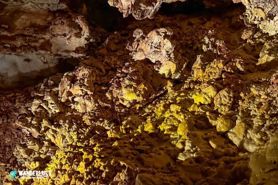
Wind Cave National Park is home to one of the world’s longest and most complex cave systems, known for its rare boxwork formations. Above ground, mixed‑grass prairies support bison, elk, pronghorn, and prairie dogs. Visitors can take guided cave tours, hike peaceful trails, and enjoy wildlife viewing. Wind Cave National Park is approximately 20 miles (about 25 minutes) from Custer State Park.
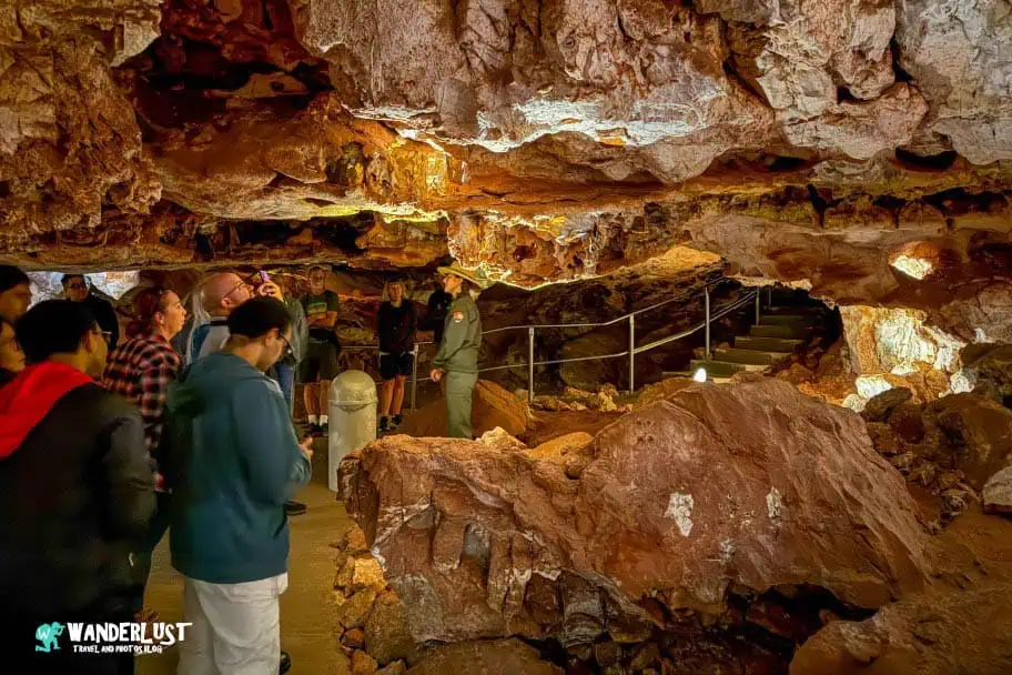
Jewel Cave National Monument
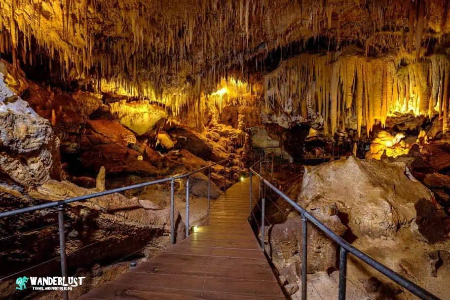
Jewel Cave National Monument protects the third‑longest cave in the world, filled with sparkling calcite crystals and intricate underground passages. Guided tours take visitors deep into the cave’s chambers, while surface trails offer quiet forest walks. Jewel Cave National Monument is about 15 miles (around 20 minutes) from Custer State Park.
| READ MORE: |
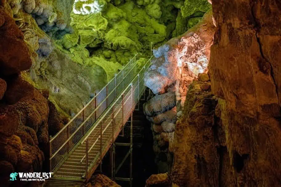 |
| Jewel Cave Visitor Guide: Planning Your Trip |
Mount Rushmore National Memorial
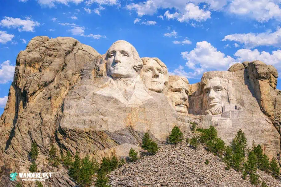
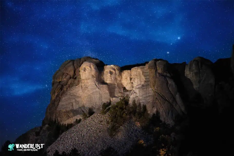
Mount Rushmore National Memorial showcases the iconic 60‑foot granite carvings of four U.S. presidents set among rugged Black Hills cliffs. Visitors can walk the Presidential Trail, explore the sculptor’s studio, and enjoy multiple viewpoints of the monument. Mount Rushmore is roughly 20 miles (about 30 minutes) from Custer State Park.
Crazy Horse Monument
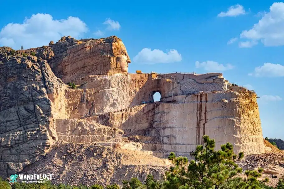
Crazy Horse Monument is an enormous mountain carving dedicated to the Lakota leader Crazy Horse and Native American heritage. The site includes museums, cultural exhibits, and viewing areas of the carving in progress. Crazy Horse Monument is approximately 10 miles (around 15 minutes) from Custer State Park.
Devil’s Tower National Monument
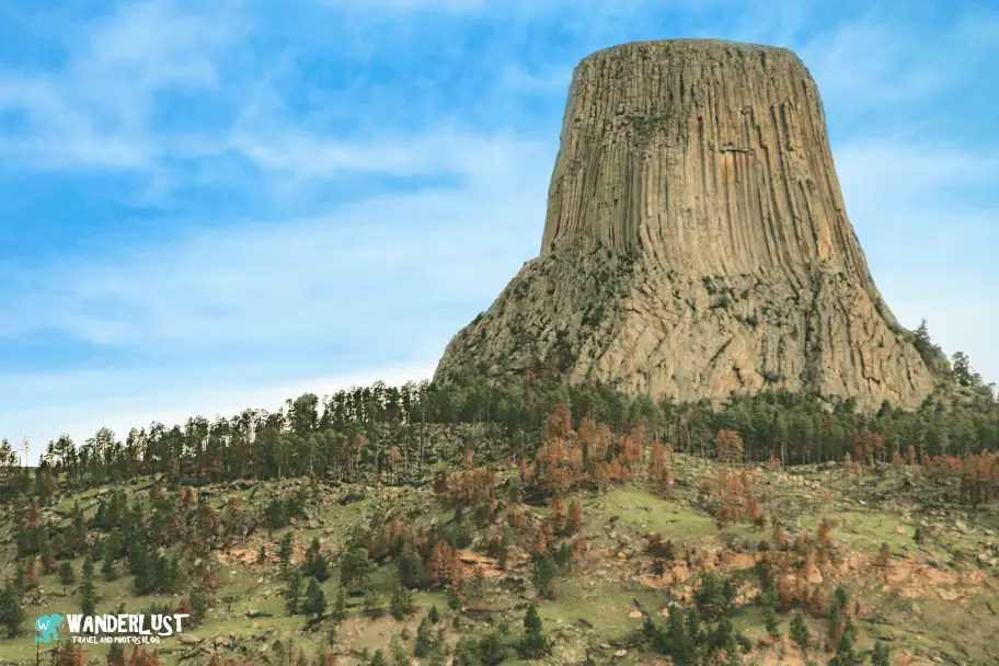
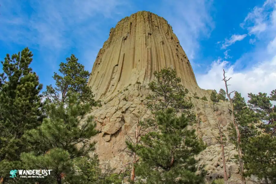
Devil’s Tower National Monument features a striking volcanic monolith rising dramatically above surrounding plains and forests. Visitors can hike the Tower Trail around its base, watch climbers ascend its vertical columns, and enjoy panoramic views. Devil’s Tower is about 110 miles (roughly 2 hours) from Custer State Park.
Theodore Roosevelt National Park

Theodore Roosevelt National Park showcases rugged North Dakota badlands, wide prairies, and abundant wildlife including bison, wild horses, and prairie dogs. Scenic drives and hiking trails offer expansive views and quiet stretches of open landscape. The park is approximately 300 miles (about 4.5 hours) from Custer State Park.
Where to Stay Near Custer State Park

The towns surrounding Custer State Park offer a wide range of lodging options, making it easy to find a place that fits your travel style and budget. This Custer State Park guide highlights Custer, Keystone, and Hill City, the main areas where most visitors stay. Custer provides easy access to the park’s southern entrances, Keystone sits closest to Mount Rushmore with plenty of hotels and restaurants, and Hill City offers a central base near lakes, trailheads, and scenic drives. Together, these towns give travelers a strong mix of choices across different price ranges and styles.
Campgrounds
Camping is a great option if you prefer staying close to nature. The park and surrounding Black Hills offer campgrounds with forested sites, lakeside settings, and easy access to hiking trails and scenic drives. Whether you’re tent camping or bringing an RV, you’ll find peaceful spots that keep you immersed in the landscape. I’ve included a map of recommended campgrounds below to help you choose the best location.
Hotels
If you prefer hotel comfort, the Custer State Park area has plenty of choices at different price points. Custer, Keystone, and Hill City all offer a mix of budget‑friendly motels, mid‑range hotels, and upscale suites with mountain views and easy access to nearby attractions. I’ve included a list of recommended hotels at various price levels below so you can compare options and find the right fit for your trip.


Activities and Tours in the Park Area
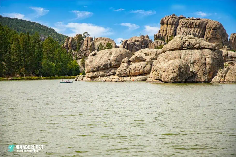
Visitors can enjoy a wide variety of activities inside Custer State Park, from scenic drives to lakeside relaxation. Needles Highway and Wildlife Loop Road offer stunning views and frequent wildlife sightings, while Sylvan, Legion, and Stockade Lakes provide easy access to kayaking, swimming, and peaceful shoreline walks. With trails ranging from short strolls to more challenging climbs, the park makes it simple for every visitor to get outside and explore.
A Custer State Park road trip also opens the door to even more adventure. Beyond hiking and scenic drives, visitors can enjoy horseback riding, fishing, paddleboarding, rock climbing, and guided wildlife tours. The park’s open prairies and granite spires create a perfect backdrop for photography, and sunrise or sunset visits often deliver some of the most memorable moments of any trip.
Custer State Park Activity Resources
- Custer State Park Resort – Buffalo Safari Jeep Tour
- Custer State Park Resort – Guided Horseback Rides
- Ziplining – Pinnacle Zip Tour
- 57 Hours – Guided Rock Climbing in Custer State Park
- Black Hills Adventure Tours – Guided Custer State Park Tours
- Custer State Park Resort – Kayak and Canoe Rentals
The area surrounding Custer State Park offers additional activities that complement your visit, from cave tours and historic monuments to scenic overlooks and cultural experiences. Whether you want to explore nearby national parks, take a guided excursion, or enjoy unique local attractions, the Black Hills region provides plenty of options. I’ve included a list of recommended tours below to help you plan the perfect add‑on to your visit.
Recommended Custer State Park Area Tours
Custer State Park Photo Gallery
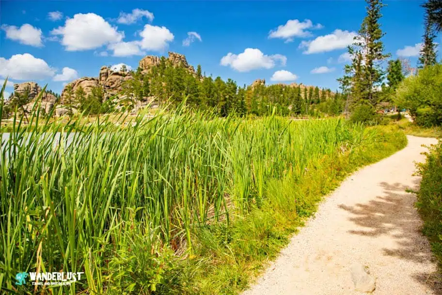
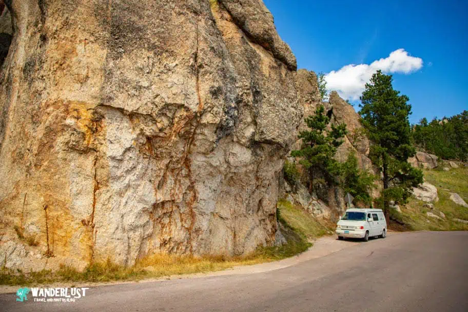
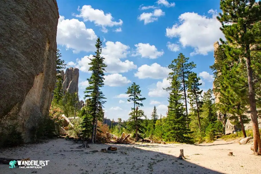
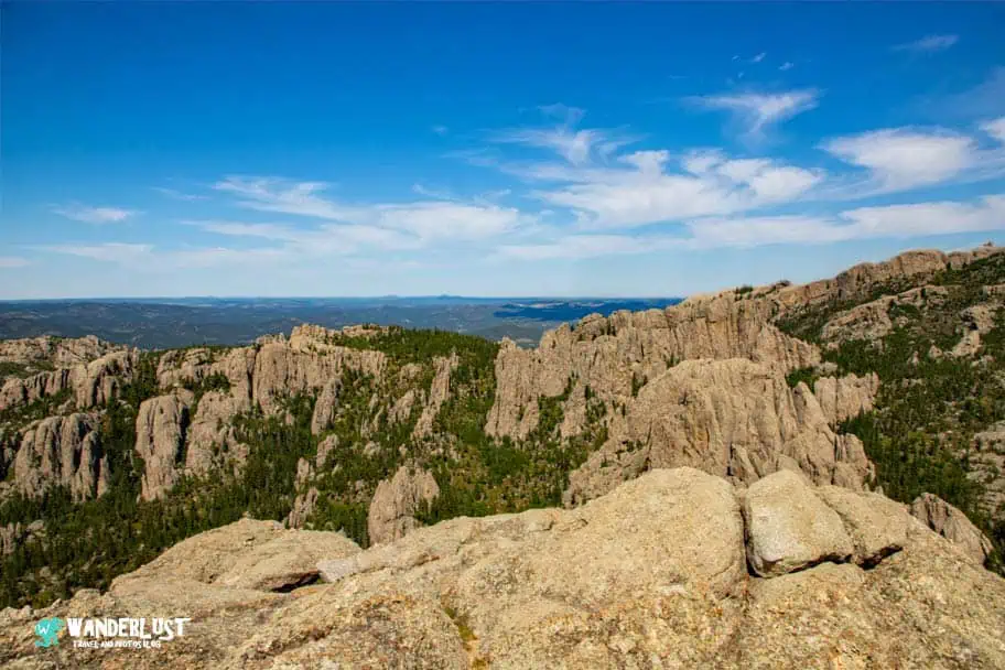
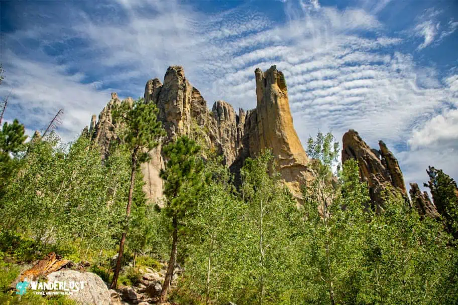
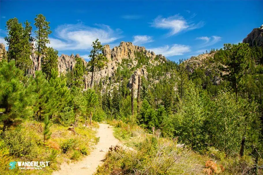
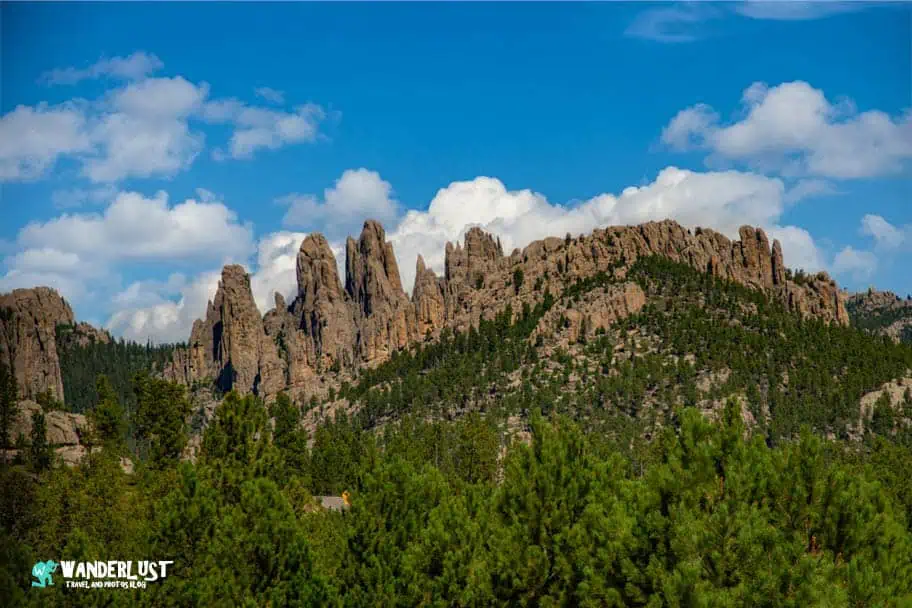
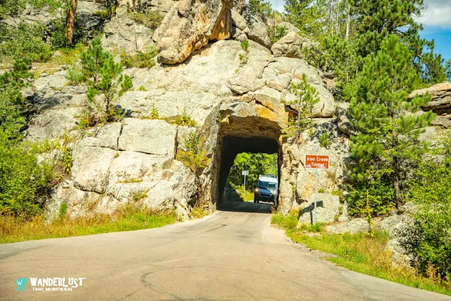
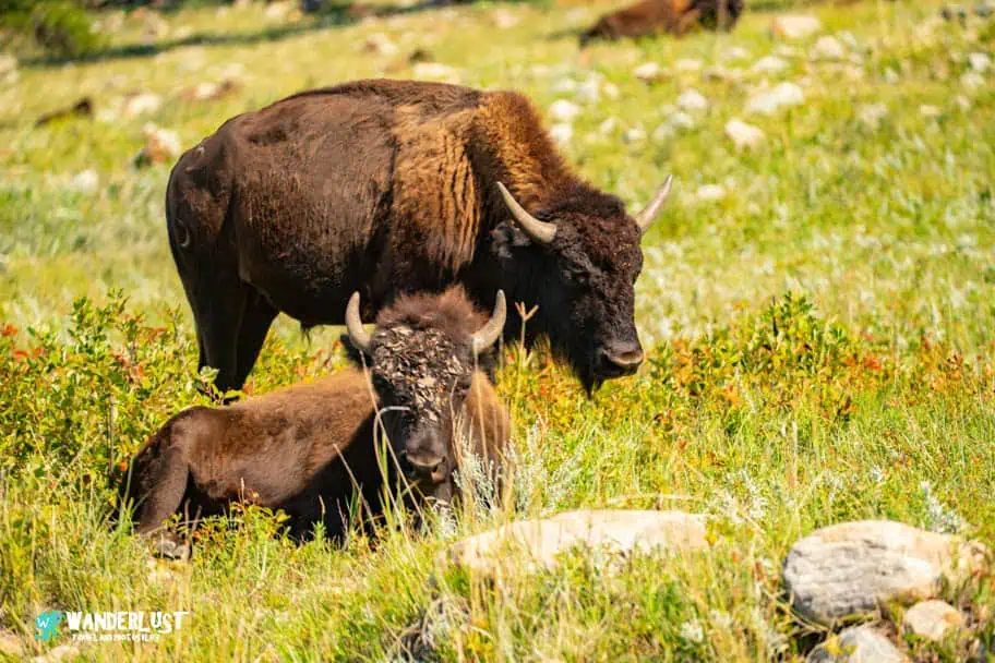
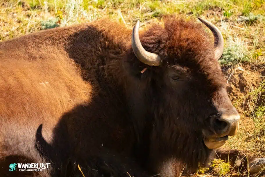
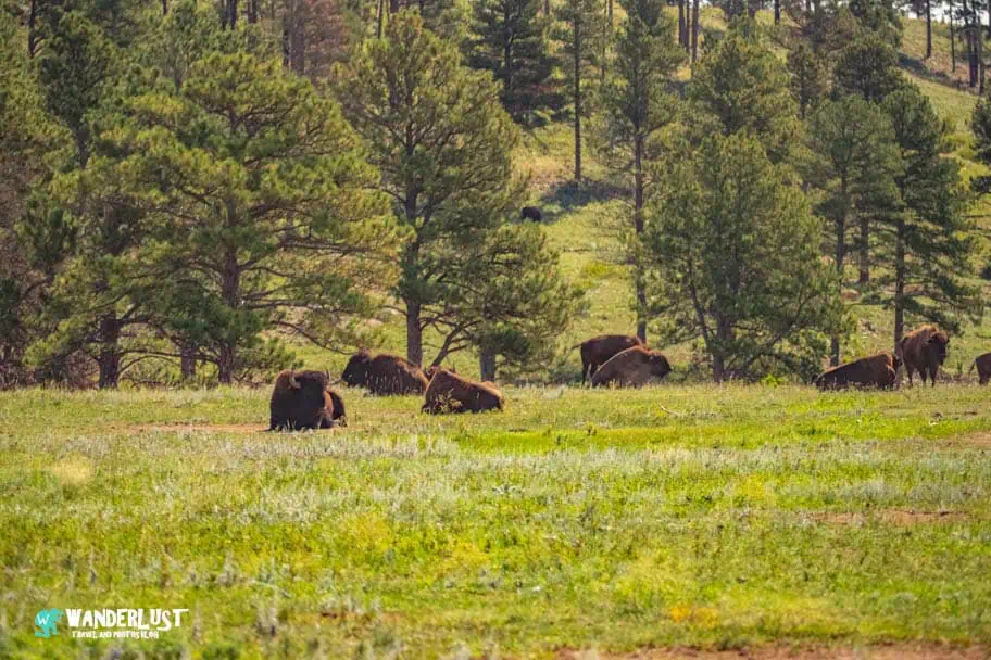
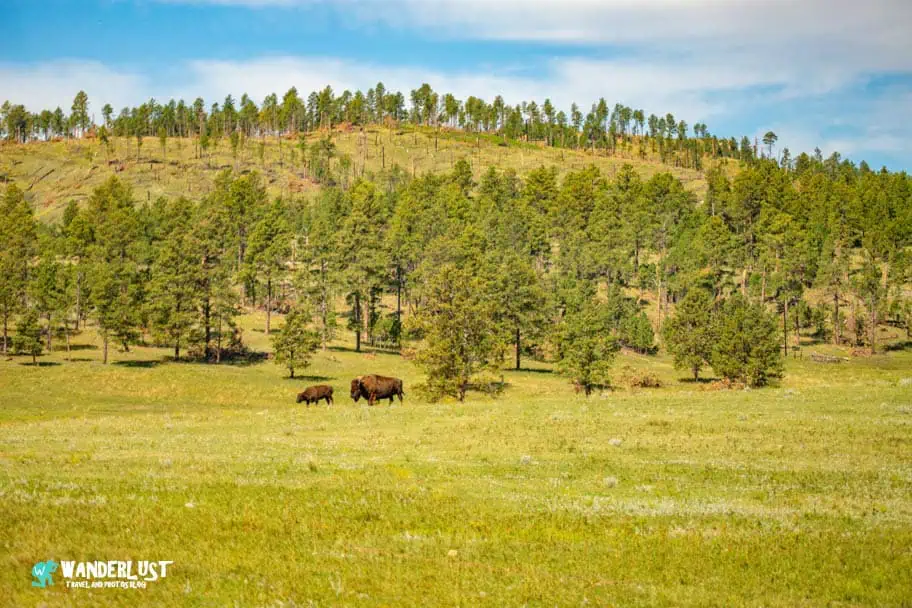
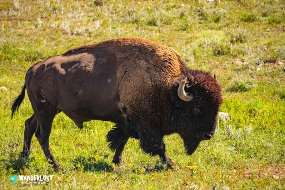
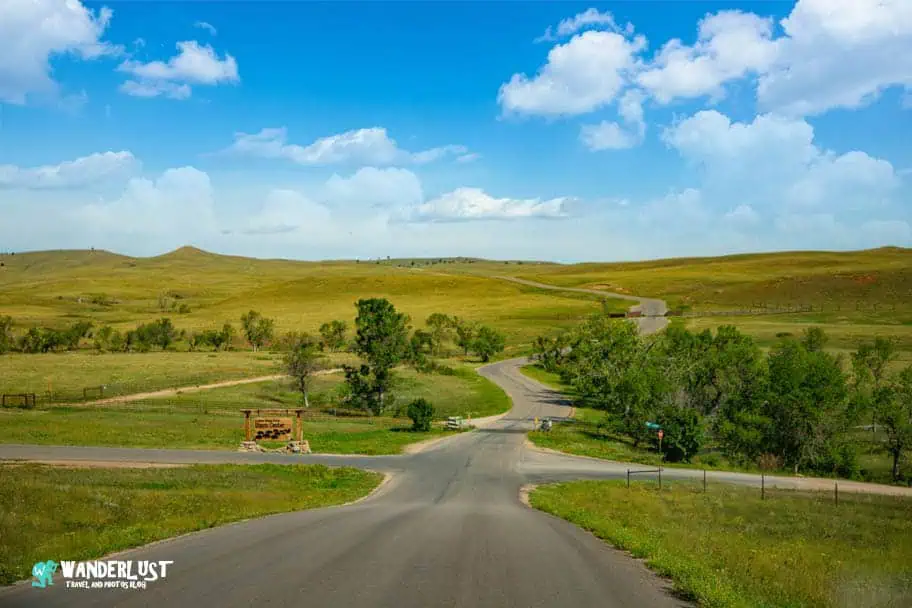
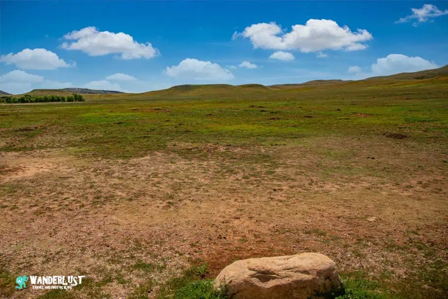
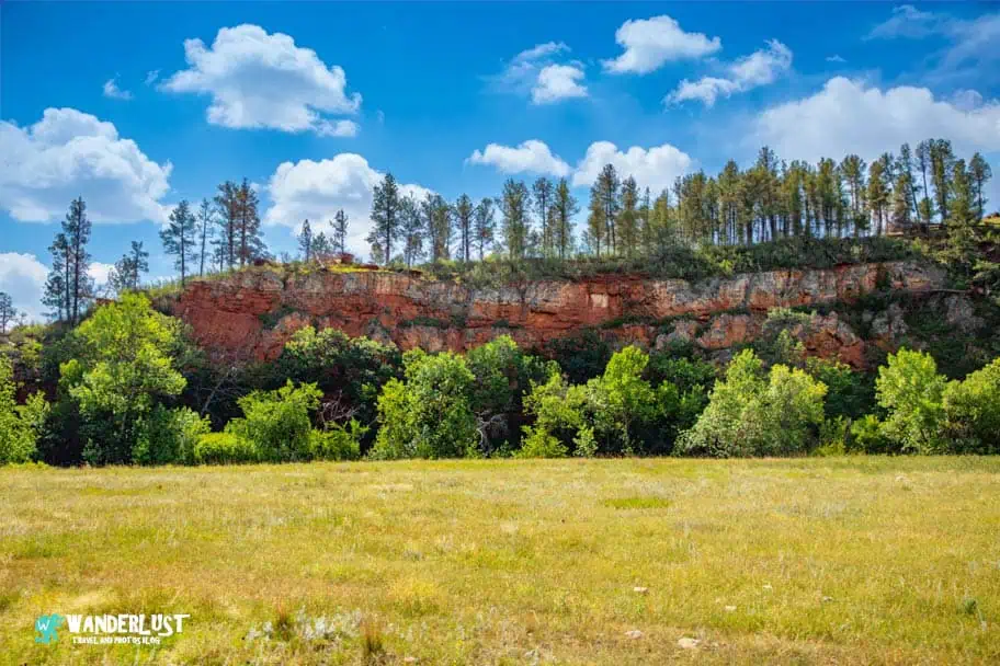
Custer State Park is one of those places where every turn feels like a new postcard—towering granite spires, wide‑open prairies, quiet lakes, and wildlife that seems to appear right on cue. Its mix of dramatic scenery and peaceful moments makes it an unforgettable place to explore with a camera. Below, you’ll find a curated photo gallery from my visit, capturing the landscapes, wildlife, and viewpoints that make this park so uniquely beautiful.
If you’re interested in exploring more of my travel photography, I’d love for you to join me on Instagram! Creating this blog to share my free guides, itineraries, and travel photography tips takes a lot of effort, and a follow on Instagram would truly mean the world to me. Your support makes it all worthwhile!
FOLLOW ME!








Don’t Forget to Subscribe to My Adventures!

Let Me Help You Save On Your Next Adventure!
‘Start Exploring Today’ Merchandise Available Now!
 |
 |
 |
 |
 |
 |
 |
















Leave a Reply